
Yaksubong 약수봉
281.6 meters
wayabong 와야봉
315.8 mETERS
5.2km return
📍trailhead
Earlier this summer I had the chance to re-hike Yaksubong and Wayabong with my friend, Louise. We set out on a weekday morning with a plan to cover both small mountains.
The trailhead starts in Suwol near Chungwang Apartments.

Enter the trailhead here.
The path starts out steep and after several minutes you will reach a junction. Follow the trail to the left to continue on to Yaksubong.

Go left here.
It’s just one kilometer from here to reach the peak. Once you are getting near the top you will be treated to lots of stone pagodas lining the path.
These stone pagodas, called doltap (돌탑) in Korean are used to keep away misfortune. They can be found throughout Korea, but are more common in a few provinces, including Gyeongsangnam-do. This particular set of stone pagodas are part of what is considered “Tapsan Park”.


Once at the peak of Yaksubong, you’ll be able to look back over a great view of Junggok and Gohyeon below.

Of course, you can finish your hike here and simply retrace your steps, but I’d recommend continuing onto the next mountain, Wayabong, which is just a further 1.5km.
Continue on the trail following the sign pointing towards Wayabong (와야봉).

After about 15-20 minutes you’ll come to a fork in the trail. Go left here heading up the mountain.

After taking the fork to the left, it will be a bit steep but should only take about 10 minutes to reach the peak. There are no big markers at the top, just a slightly open area with a view looking towards the mountains that separate you from Okpo.

If you have a car parked at the start of the trail, you can simply return back the way you came. However if you are open to a thru-hike, you can continue onto Okpo, which is what we decided to do since I was curious about the rest of the trail.

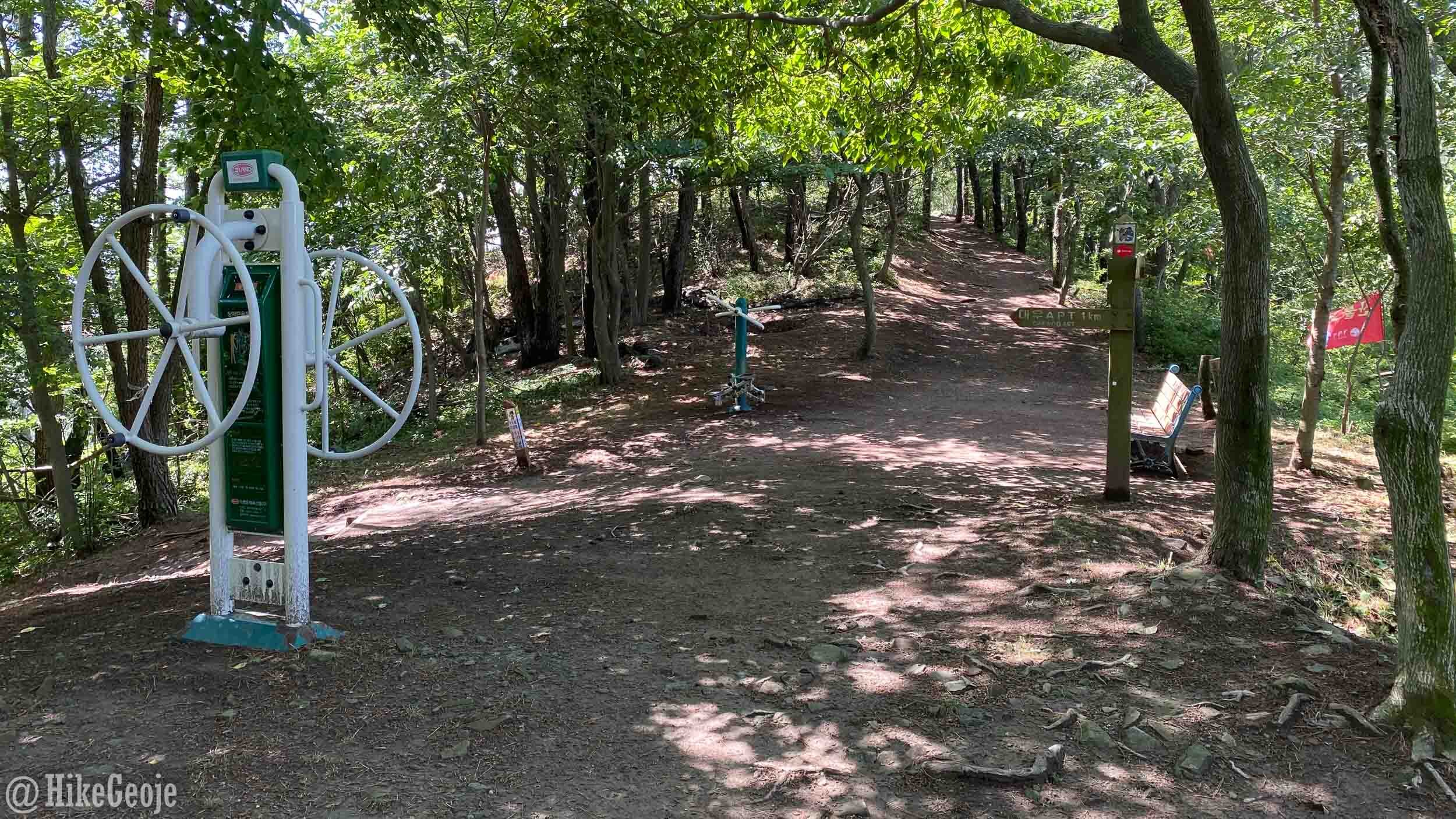
To continue on to Okpo, from the peak, turn right and the path will descend slightly. Bypass any side trails and continue to follow the main trail. After about a half an hour you’ll reach a small workout area next to some new roadway construction on the mountain. We were very uncertain about which way to go from here, but luckily some “fellow” ajumeonis were there to give us directions. ^^

The start of the road work.
Make a left onto the wide dirt roadway. You’ll soon reach a fork in the road and you should go right. Continue along until you see a trail marker sign on your right near where the road starts to turn. The trail climbs up the steep open path opposite the trail marker sign.

Take that path up the hill on the left.
A mockup from a naver maps screenshot is below, showing the heart as the “workout area” where you first enter the roadway.

Once you’ve climbed to the top of the hill and you are back in the woods again continue along the trail, ignoring any off shoot trails to the left. Soon enough you will come to a crossroads. The trail marked 소방서 with the blue arrow will take you to the Okpo Fire Station. The trail marked 국사봉 in red will take you to Guksabong, as well as behind Lotte Mart near the Admiral Hotel. This is where we chose to go.

Continue along to the right heading for Guksabong. The turnoff for Lotte Mart marked by a sign at a small gym area. From here, make a left and start making your way down the mountain.
To finish off your hike, you’ll bypass Yaksusa (temple) before entering the roadway.

Yaksusa Temple.

We were lucky to catch the last of the hydrangeas.
It was nice to explore the trails all the way to Okpo and if I had more time before work, it would have been great to continue along up to Guksabong as well from here. Thanks for a lovely morning hike, Louise!