
woraksan national park 월악산 국립공원
Yeongbong 영봉 1097meters
approximately 6.5km to the peak
📍Trailhead
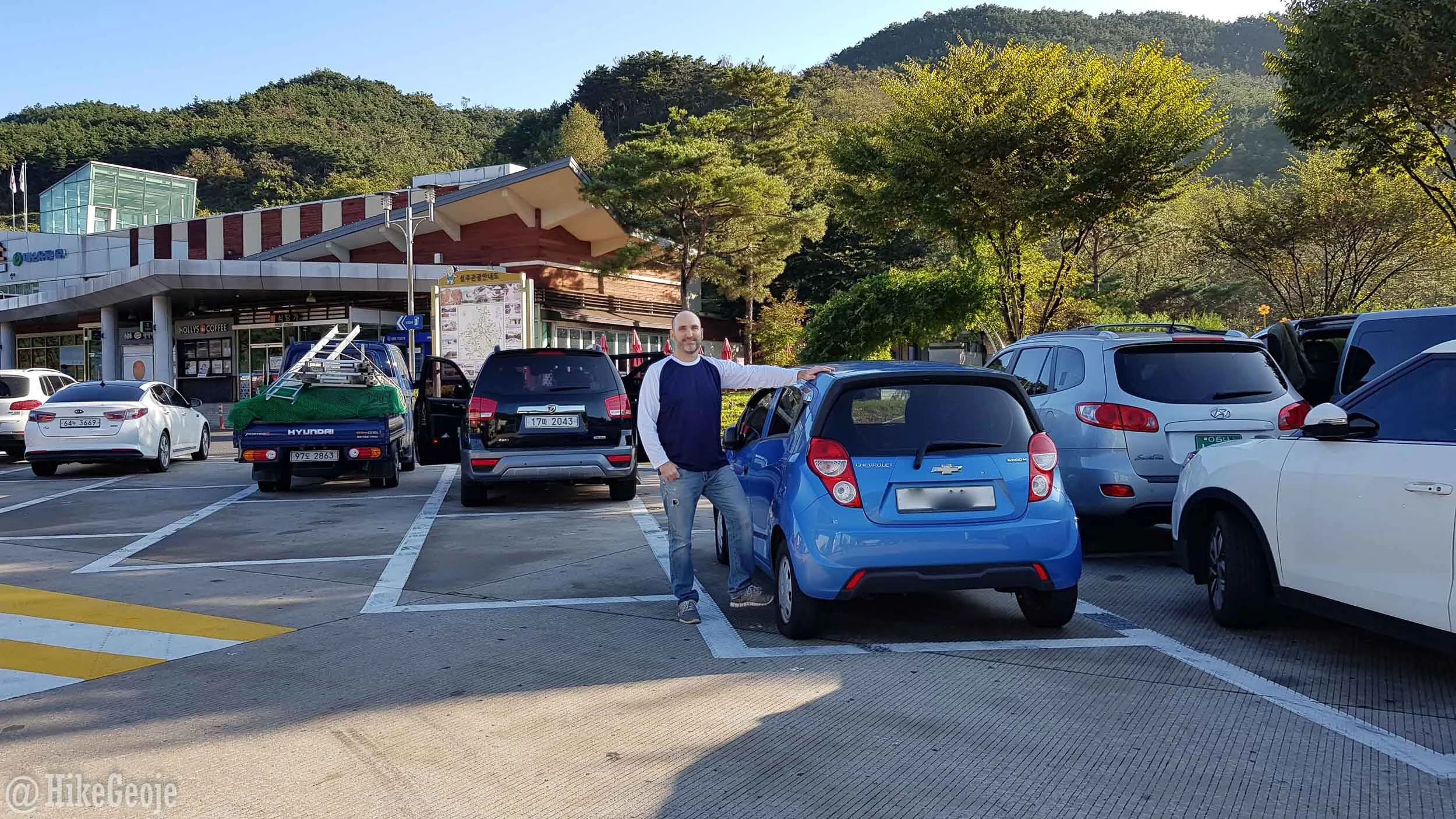
Recently, Andrew and I set off for a weekend trip to Woraksan National Park in hopes of seeing some fall colors and to cross another peak off my list. We set off fairly early on a Saturday morning, but after stopping at a reststop along the way, we discovered a flat tire, We had to call our insurance for a guy to come out to fix it and this, of course, put us back almost an hour.

The culprit!
We were already leaving later than I had hoped so we rethought our hiking plans and considered going to do another nearby hike, saving Woraksan for a future weekend. In the end, we decided to continue on with the hike as planned but hustle a bit if we needed. I’m so glad we did!I
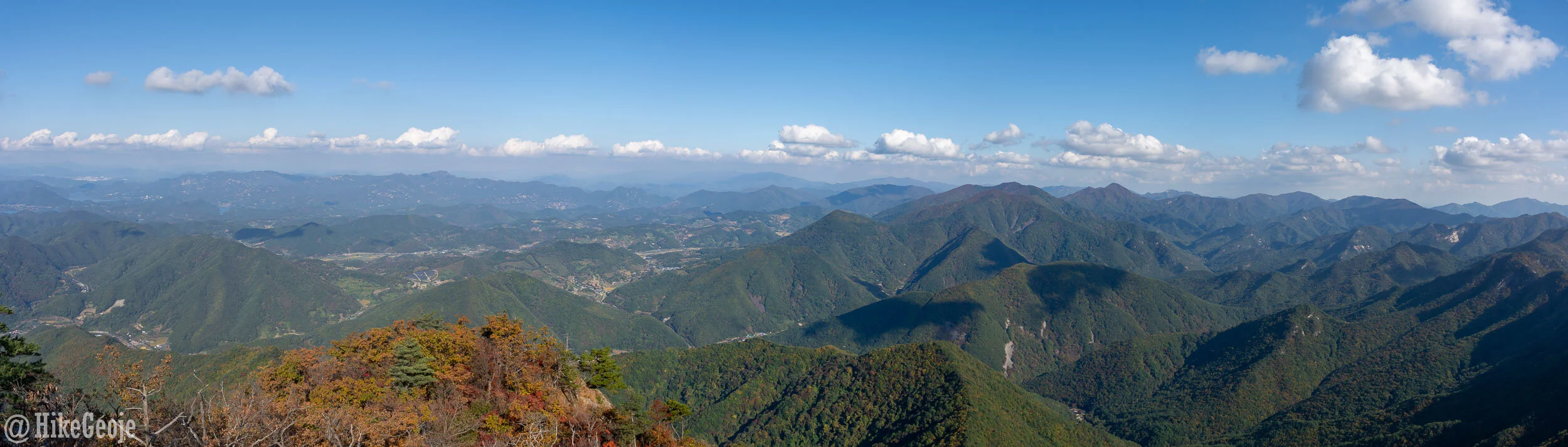
Arriving at the parking lot, I was surprised to see it was almost empty. I figured most of the national parks would be packed this time of year, but perhaps Woraksan is not as popular as some of the other parks. I can’t imagine why though! The peak view was the most spectacular view I have yet to see in Korea…but more on that later.

Head up this way past these restaurants.
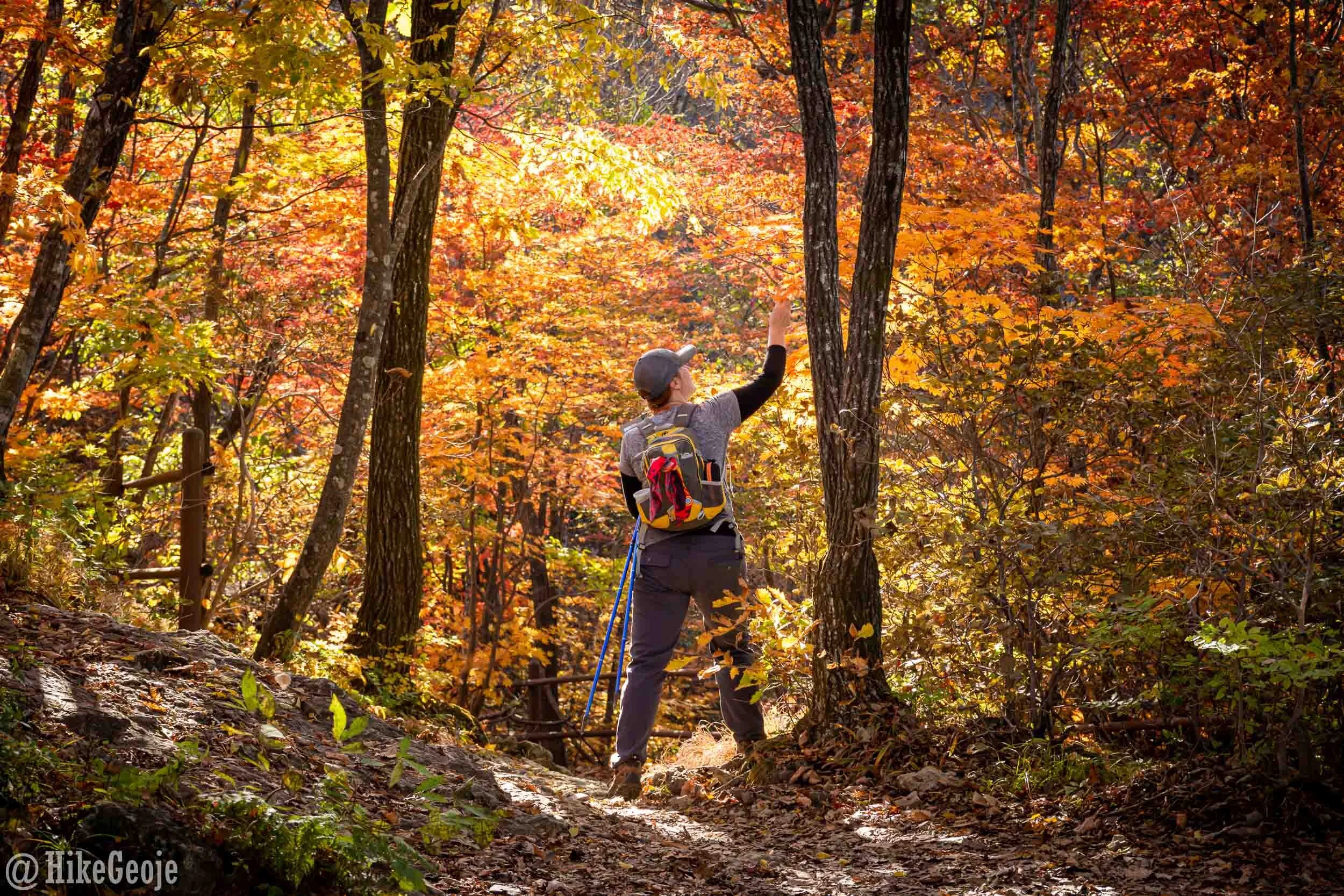
We started off at the trailhead headed towards Deokjusa Temple. We decided early on that since we were starting later than planned, we’d skip the temple and just get on the trail. During our visit (October 2019) there was some construction happening on the first 300m or so of the trail, so we had a bit of a detour for the first bit. It was easy enough to follow the signs though.
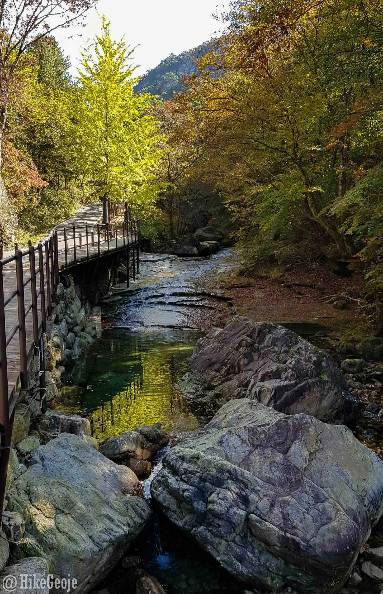
Haven’t even officially entered the hiking trail, and already it’s beautiful!
Once on the trail, we were happily cruising along. After 1.6km from Deokjusa Temple, we came to a small junction. 100 meters to the right is Maaebul Rock. It’s a small rock with a carved Buddha. It’s worth checking out for the short distance off the trail and a nice little view of a small temple below.
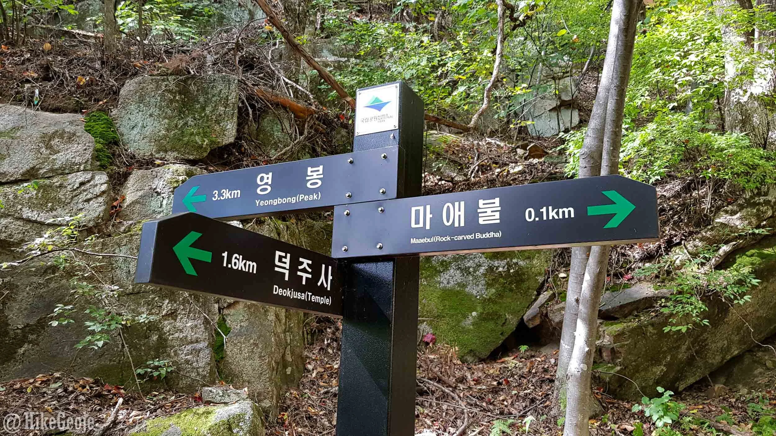

Maaebul Rock-carved Buddha

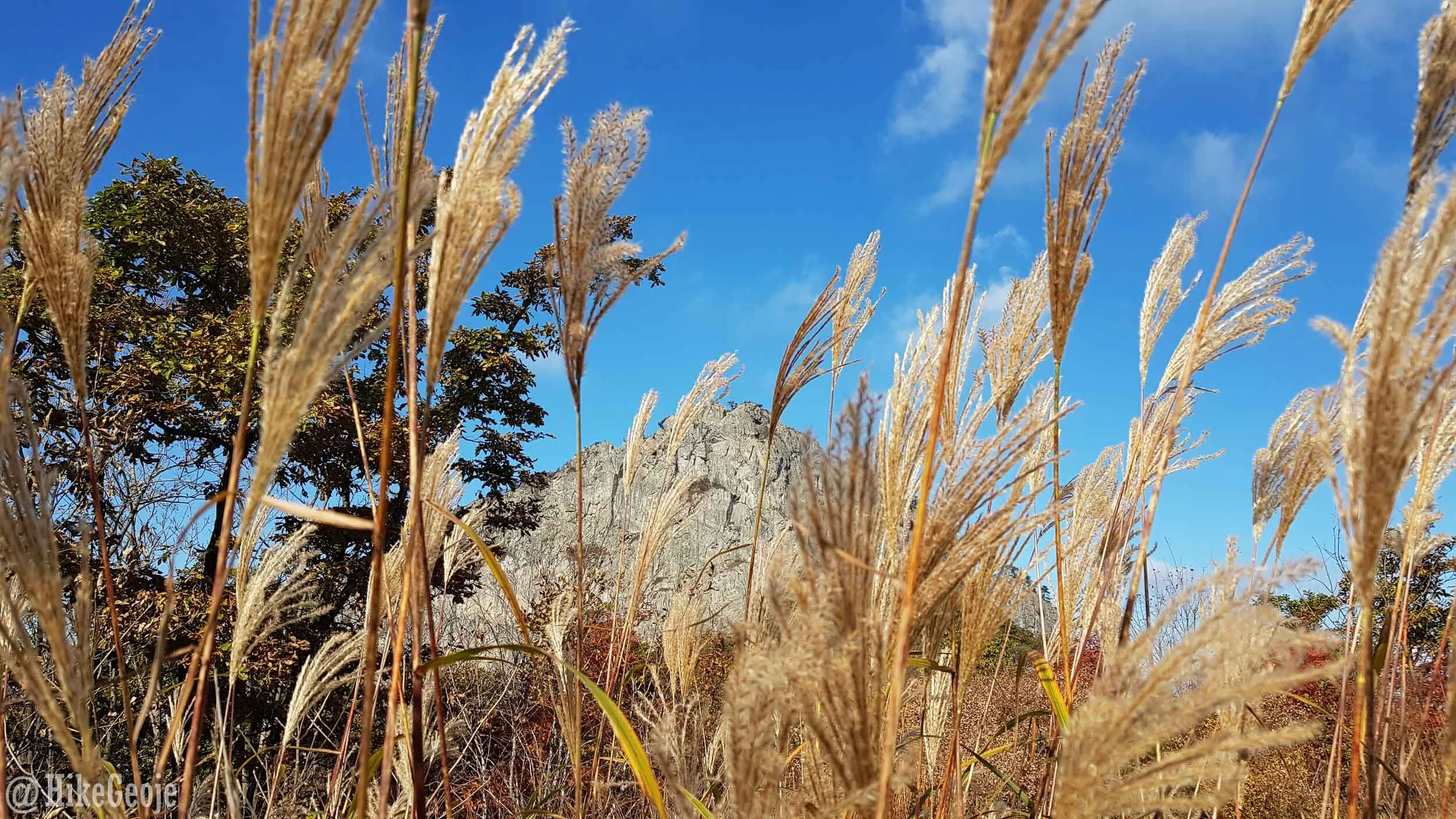
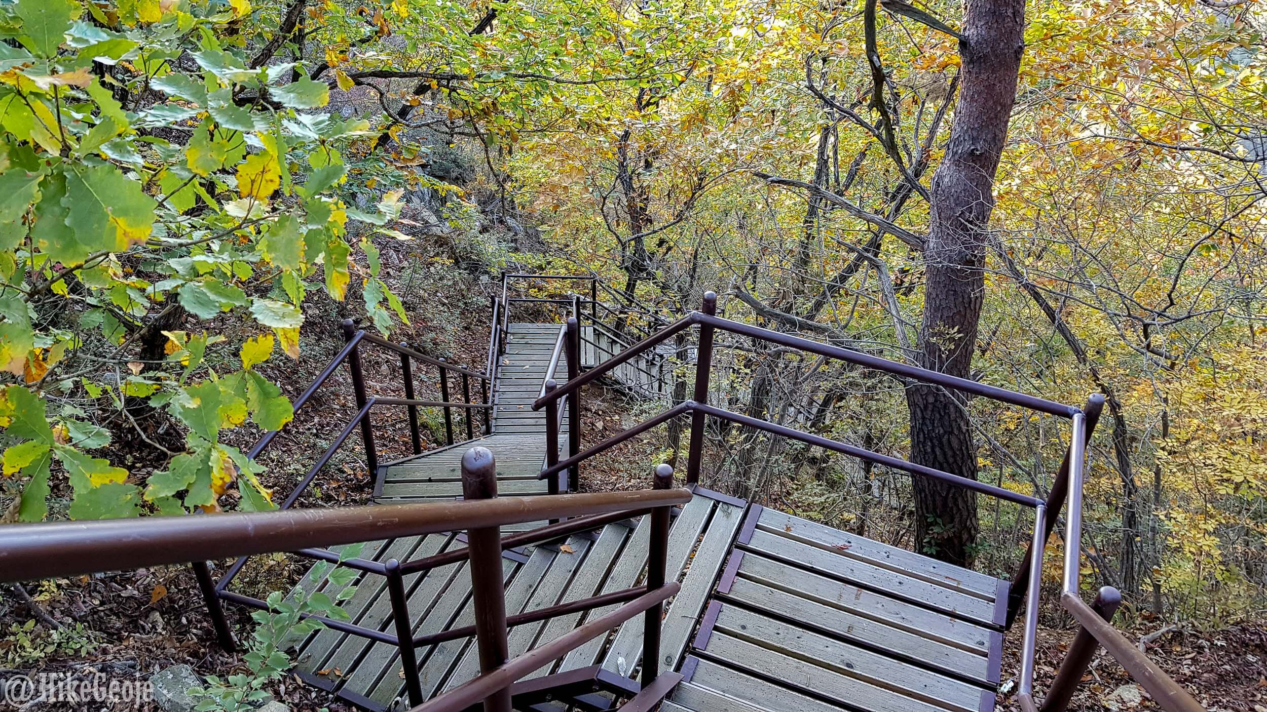
After that, from the junction turn left going up the stairs. This is where the trail gets tougher…it’s about 1km of stairs to reach the ridge line. Looking back, it doesn’t feel as tough as it probably was, but I imagine that is partially due to the incredible views along the way and stopping for lots of pictures. We were so happy that we settled on this route because it was so picturesque looking back towards the valley with the leaves starting to change color.

After another 1 kilometer you’ll arrive at a nice platform that allows you to look over the front side of the mountain as well. I didn’t really see any signs indicating it, but according to the maps, this is Maaebong, which stands at 960meters (not to be confused with Maaebul Rock, like I did).
From here, you’ll still have about 2.5 kilometers to go to reach the peak. You’ll have completed a lot of the climb at this point though, so it won’t be as steep and should be fast going for about 1 kilometer. Soon you’ll arrive at a helicopter landing pad, with Yeongbong peak right in front of you. It looks so incredibly close, so at first it doesn’t make any sense that you still have a little over 1.5 kilometers to go, but you’ll soon find out that you have to go around the rear side of the rock to climb it,
The view of the peak from the helicopter landing pad.
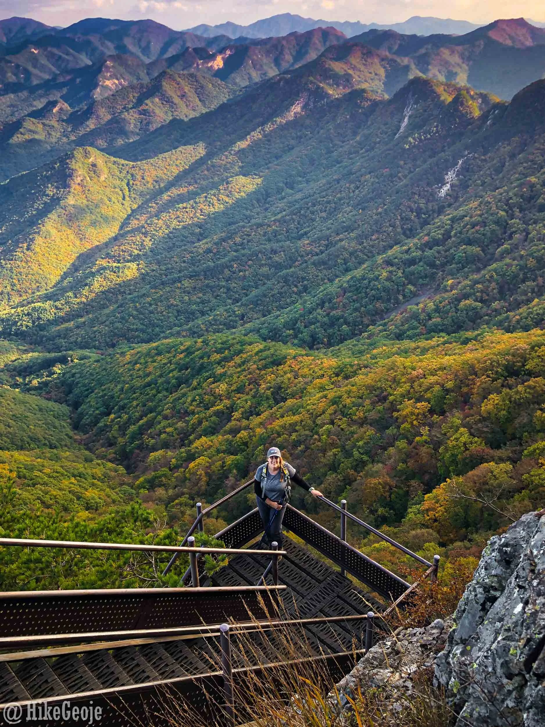
A few more steps from the helicopter landing pad you’ll reach the emergency shelter area that also has the trail we later took off the mountain, heading to the left. If you’re feeling tired, this would be a good spot to take a short rest and refuel because the final 1.5 kilometers will be tough again. Not only will you have to head to the rear side of the rocky peak, but you’ll have to climb back down a bit before heading up again. Once again, you’ll have lots of stairs, but there are some pretty incredible views so the exertion is worth it.
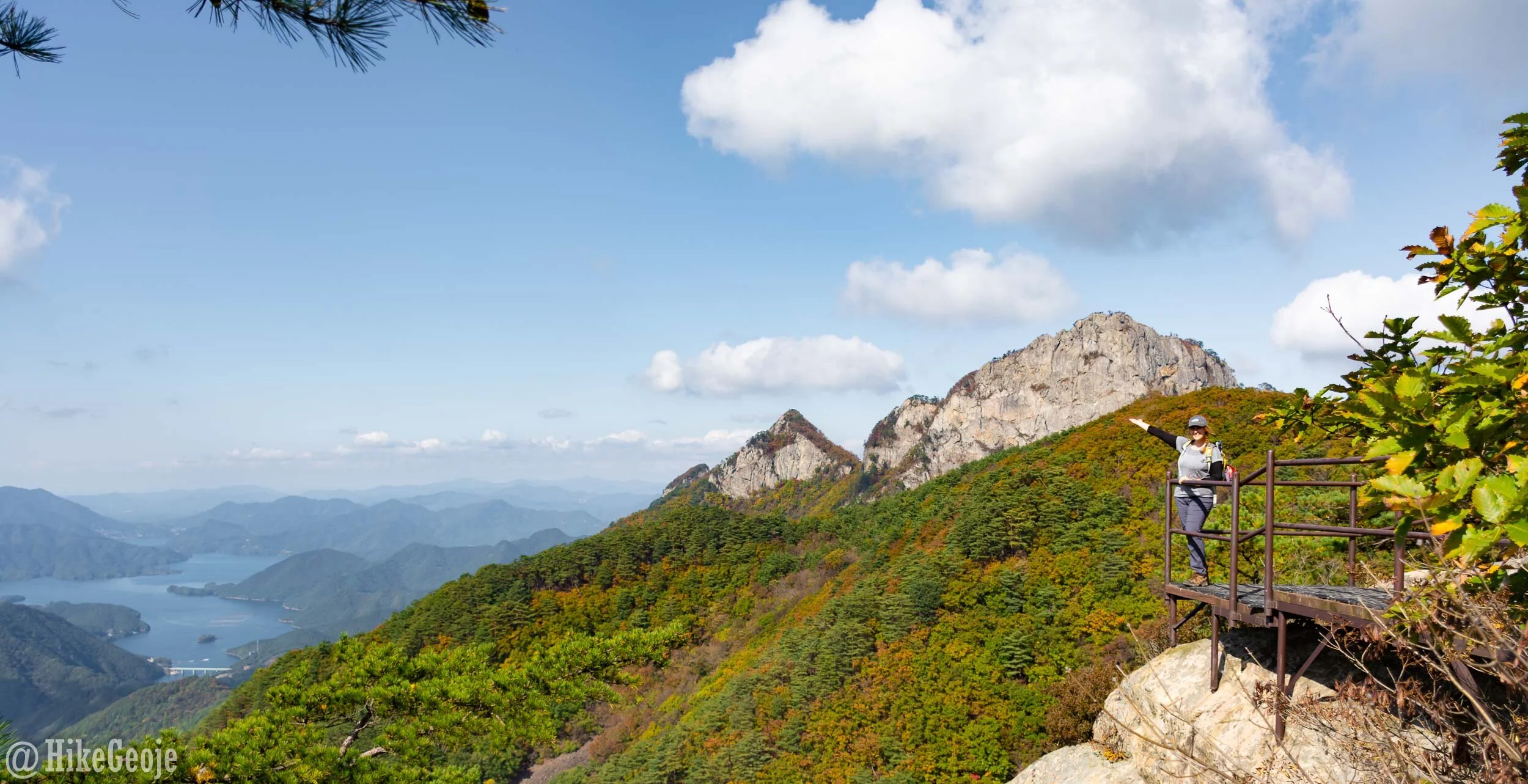
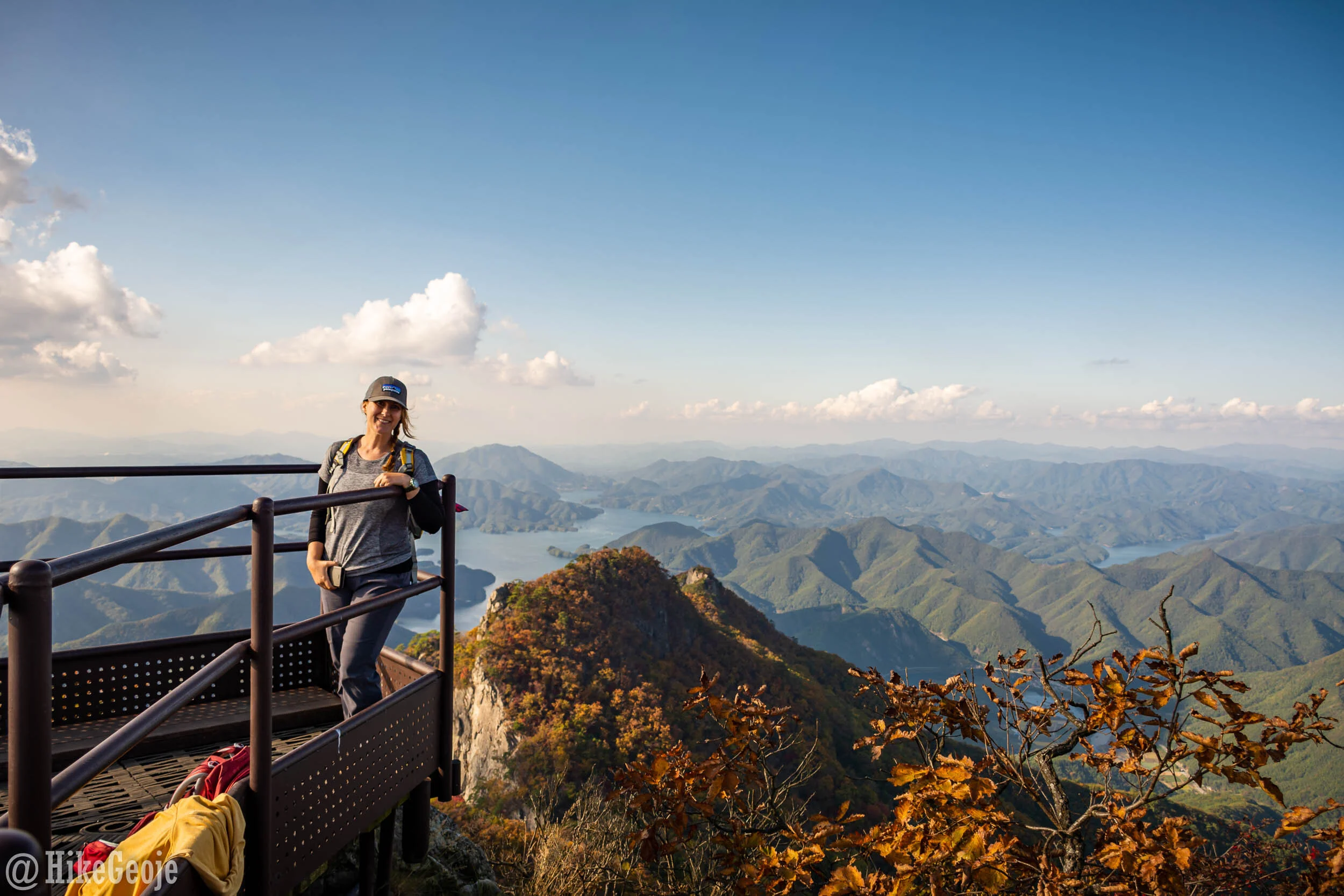
Once at the peak area, there is a large platform with some wooden benches built into the rocks, and on the front side of the mountain is the summit stone. There are spectacular views in every direction, but my favorite was from the summit stone looking down on Chungju Lake below. (This is the view of the cover photo for this blog post.)


It was time to head off the mountain at this point. We opted to take an alternate route rather than doubling back because I really enjoy covering new ground. We headed back to the junction with the shelter and turned off in the direction of Dongchanggyo. It would take us 2.8 kilometers on this trail, followed by a 2 kilometer walk along the roadway to get back to where we started.

Overall, we didn’t really enjoy this trail half as much as the one we took going up. It was quite rocky and steep (with the odd bit of stairs thrown in) so made it a bit hard on the knees. Apart from one platform along the way, there weren’t any views either.

Looking back, I think we would have been better off returning the way we had come. It was 3.4 kilometers on the trail to reach Deokjusa temple, followed by about 800 meters to get back to the parking lot, making that way actually a tad shorter. Regardless, we had an amazing day hiking!

Our post-hike grub!