
Naeyeonsan Waterfalls Course (내연산 폭포코스)
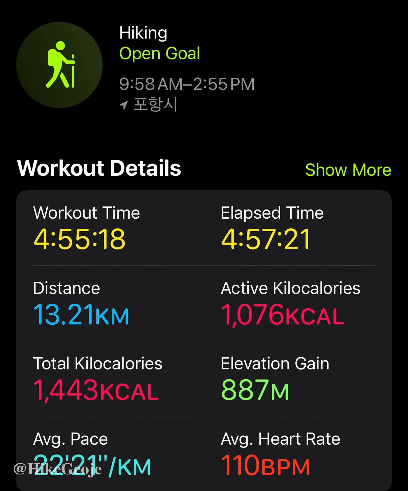
13.2km
📍trailhead
Trail Specs & Details
Distance: 13.21km
Trail Type: Loop
Elevation Gain: 887m
Starting Elevation: 104m
Highest Elevation: 711m (Samjibong / 삼지봉)
Time: Around 5 hours (including breaks and photo stops)
Highlights: Sangsaeng Falls, Sogeumgang Observatory, Gwangeum Falls, Yeonsan Falls, Samjibong Peak

Weekend Plans and a Change of Weather
To knock off a couple more BAC 100 peaks, I planned a weekend trip to Juwangsan (which Andrew and I hiked a few years back) and nearby Naeyeonsan, my first time exploring this mountain.
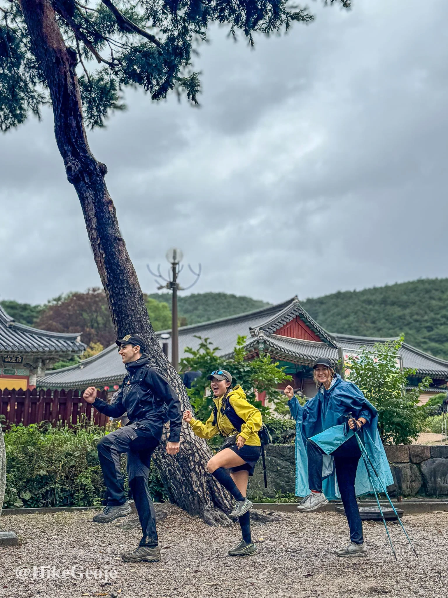
This time I was joined by Khaled and Yejin. I met Yejin while hiking the HwaDaeJongJu earlier this year and was excited to meet up again for another adventure.
Our plan was to hike Juwangsan on Saturday, then head to Jangsa Beach near Naeyeonsan to camp overnight. Unfortunately, the rain had other plans. By the time we finished Juwangsan, it was still wet and chilly, so we scrapped the camping idea and found a cozy pension that could fit the three of us.
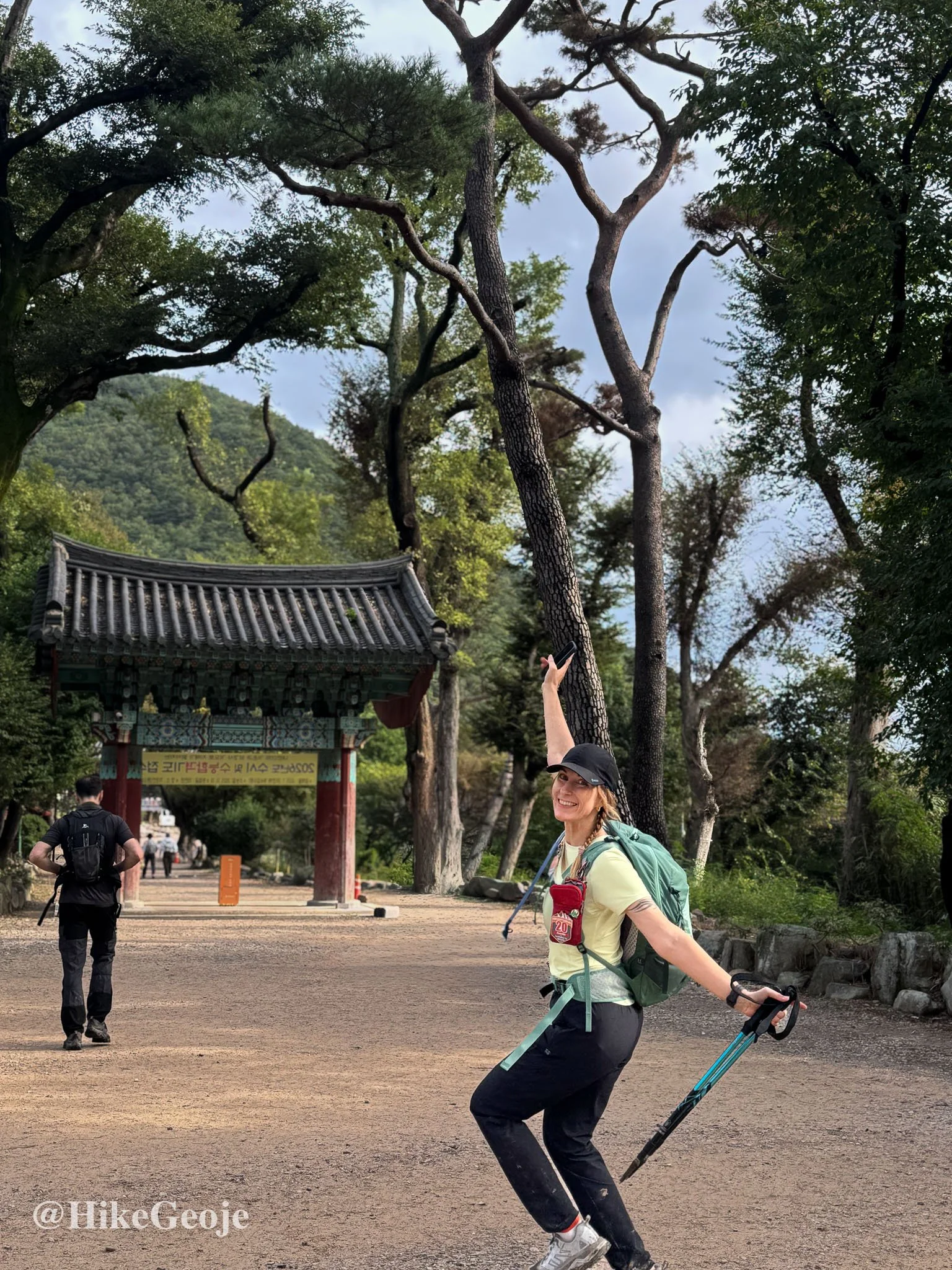
Starting the Waterfall Course
The next morning, we set off for Naeyeonsan’s waterfall course. A light drizzle greeted us at the start, but as the saying goes, there’s no bad weather, only bad clothes. The upside was that all the rain made the waterfalls absolutely thunderous.
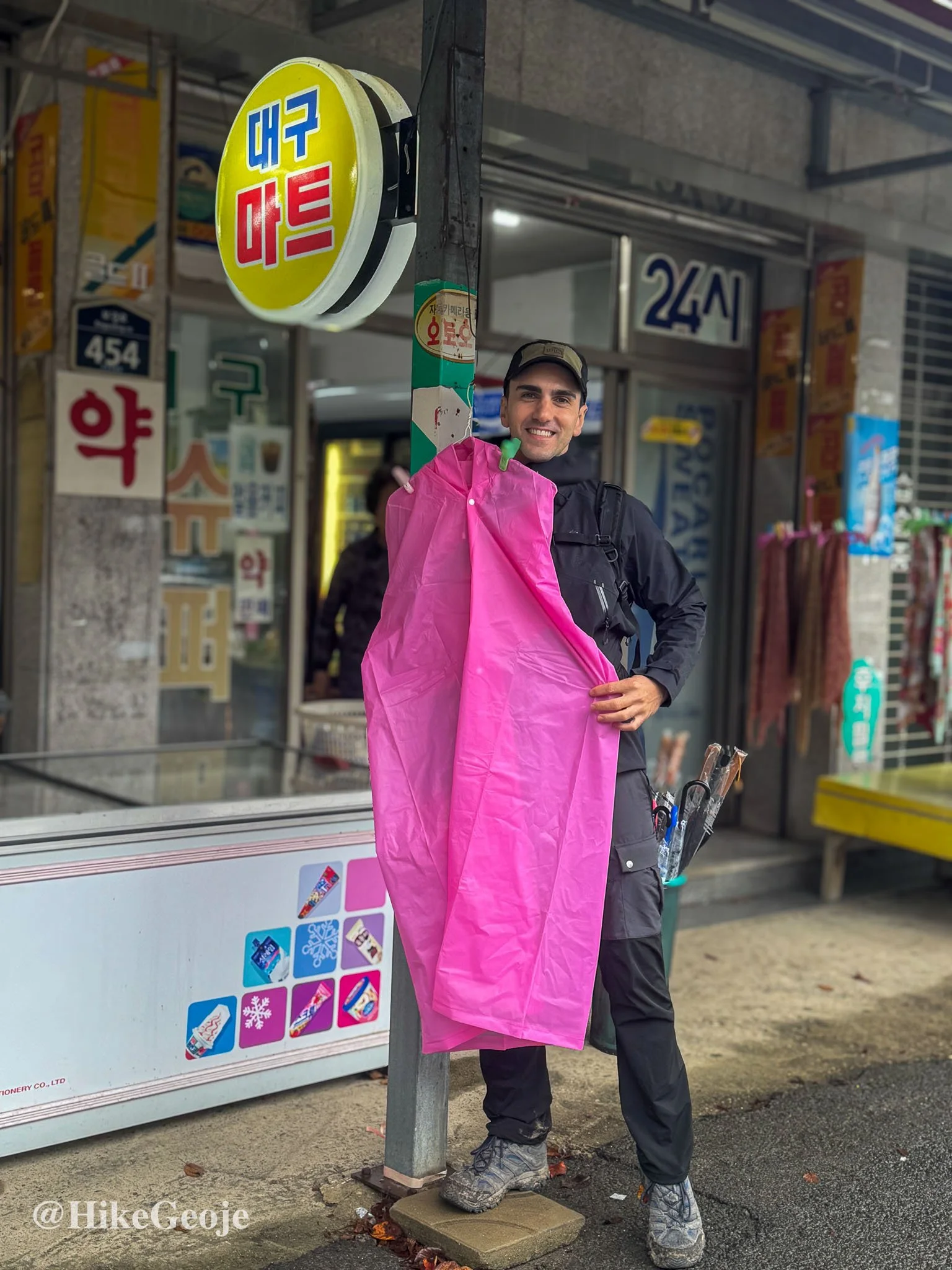
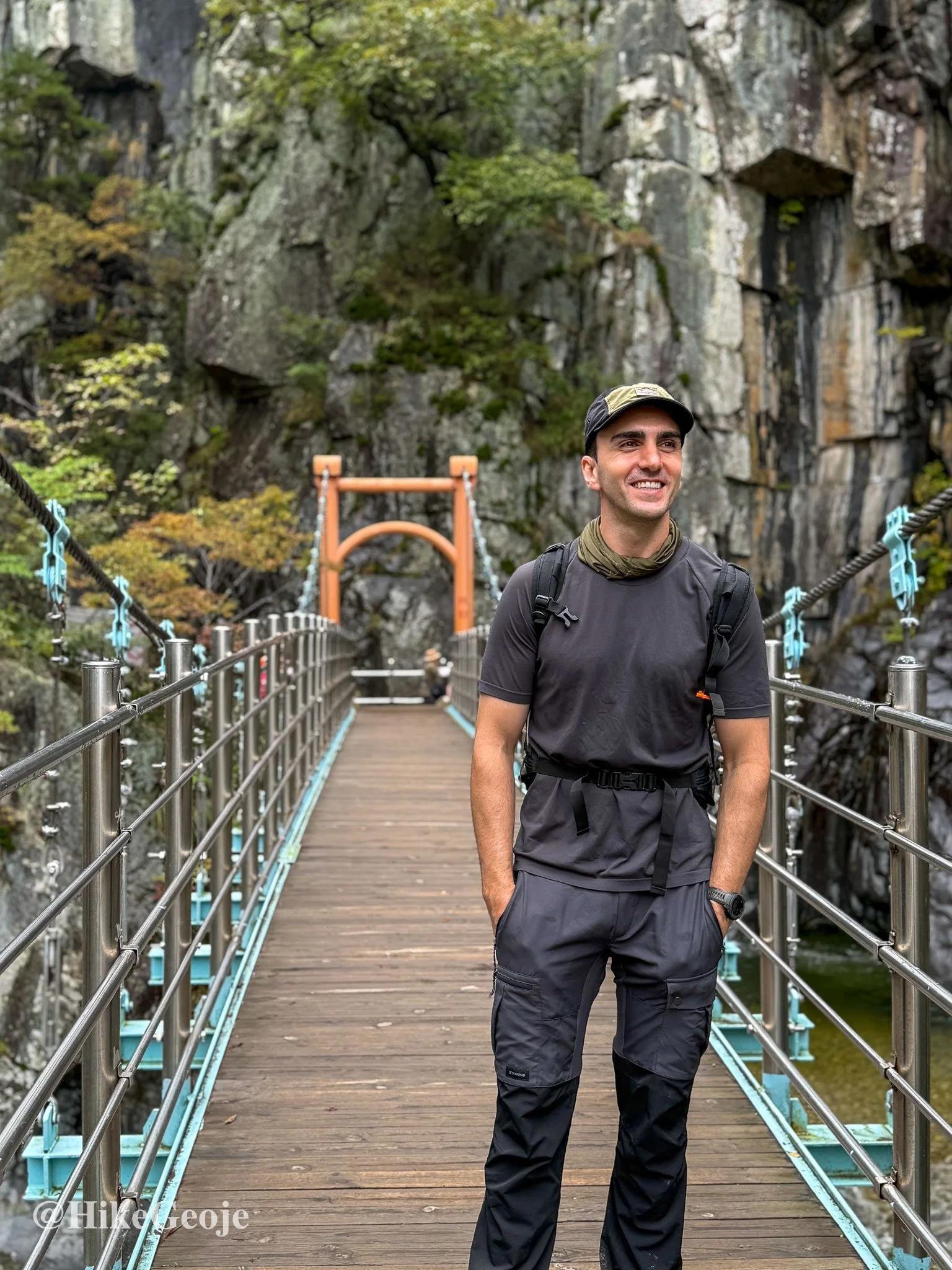
Khaled pondering some new rain gear.
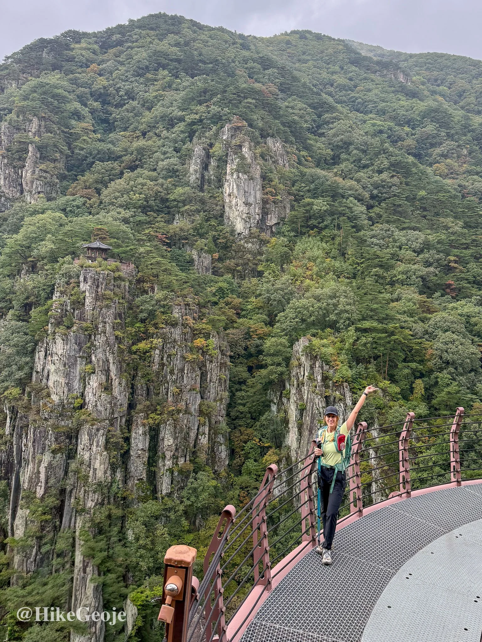
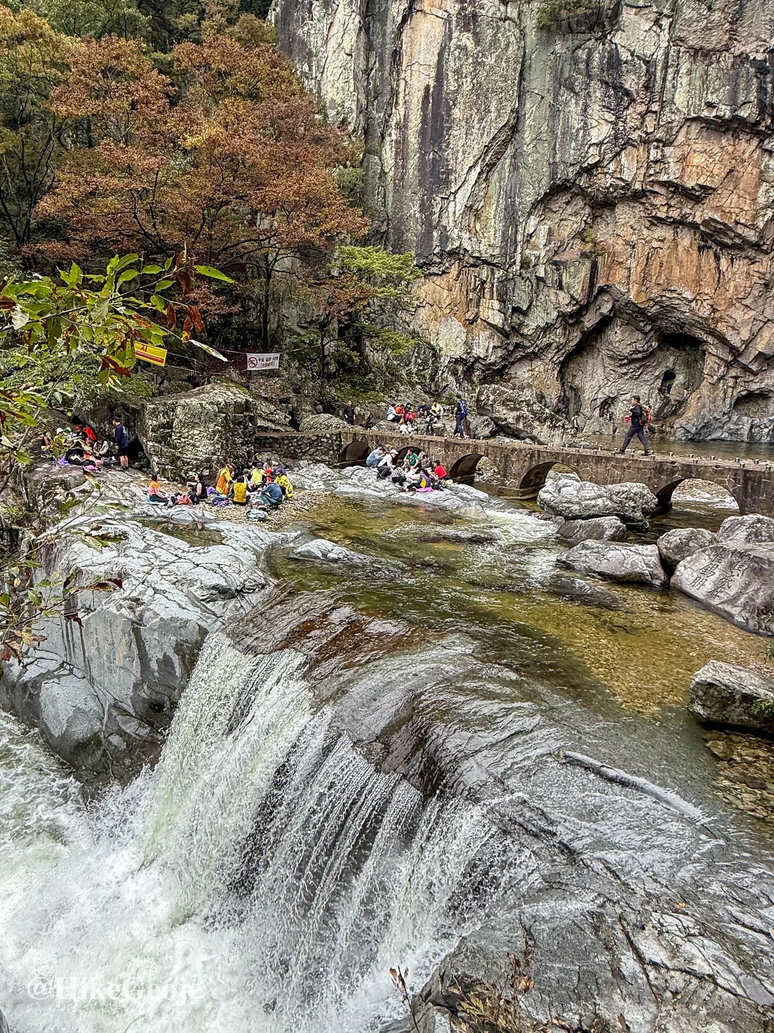
Our first stop was Sangsaeng Falls (상생폭포), a beautiful double waterfall nestled between rock walls. From there, we continued to the right-hand turn for Sogeumgang Observatory, a worthwhile detour offering sweeping views of the surrounding cliffs. With Yejin directing photo stops and Khaled pausing for impromptu pull-ups on a perfectly positioned tree branch, the climb up was anything but dull.

Sangsaeng Falls
Views Worth the Detour
At the top, the view of the gazebo perched on the rocky cliff opposite was breathtaking, like something out of a painting.
After retracing our steps, we made sure not to miss Gwangeum Falls and its suspension bridge backdrop.
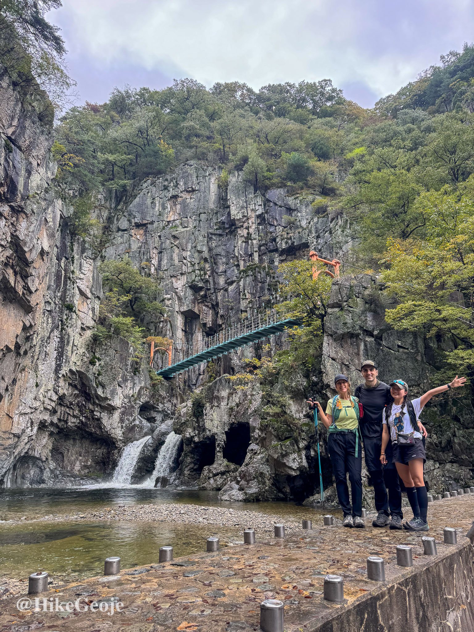
Gwangeum Falls
From the bridge, you can scramble down to the rocks below for the best shot with Yeonsan Falls, the most impressive of the bunch. We were lucky to get our photos before a long line formed behind us.
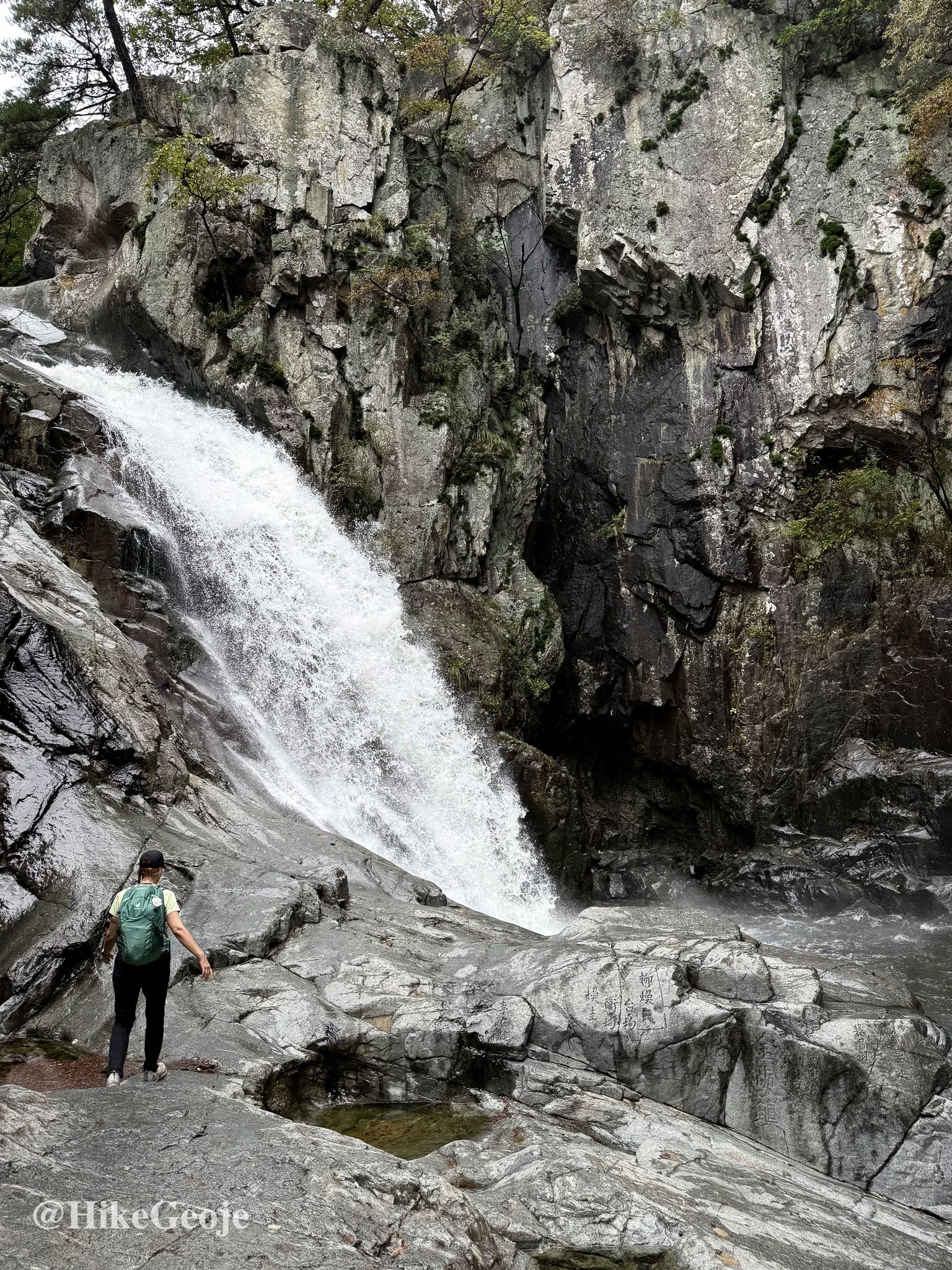
Yeonsan Falls
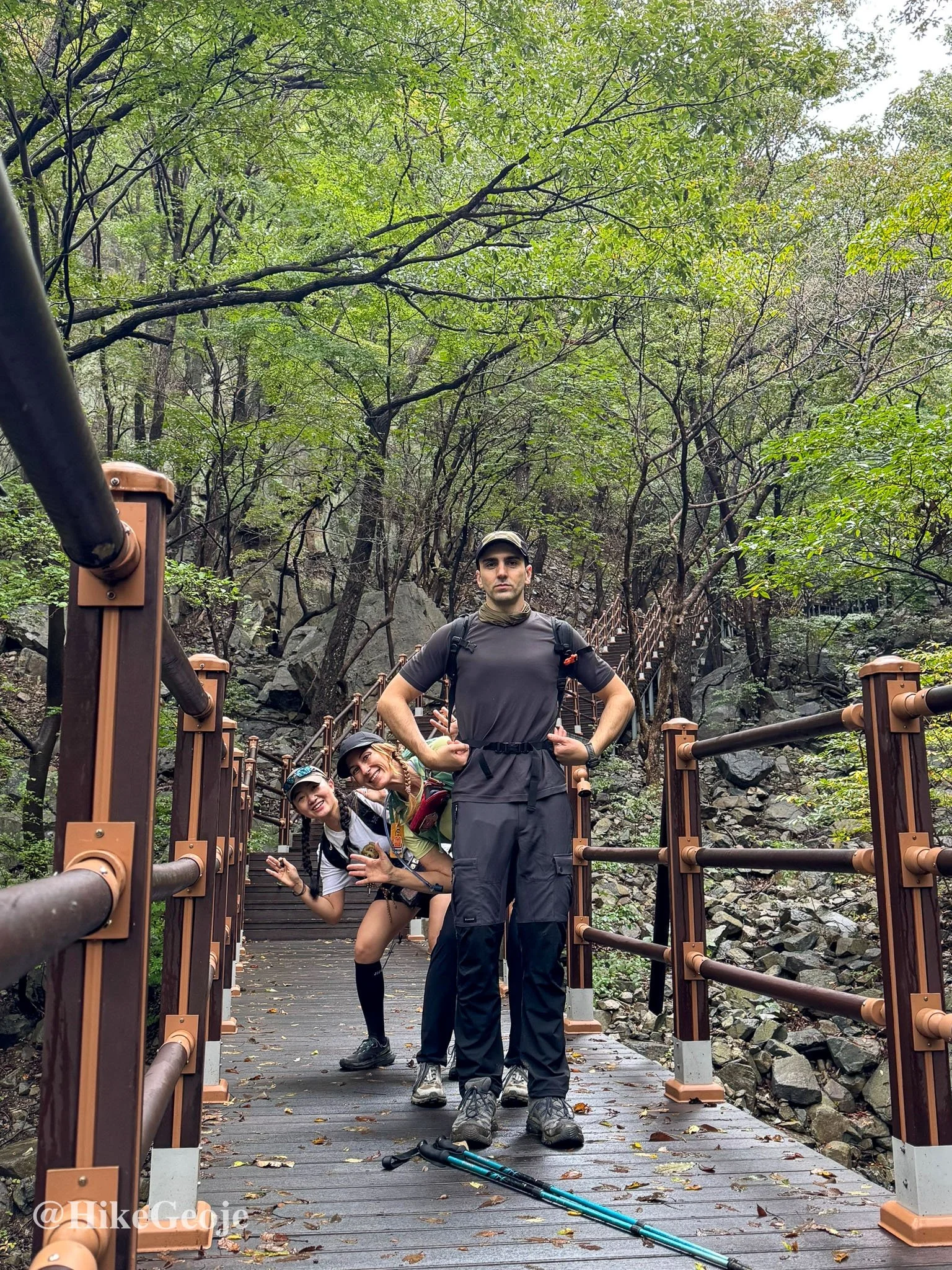
The Climb to Samjibong
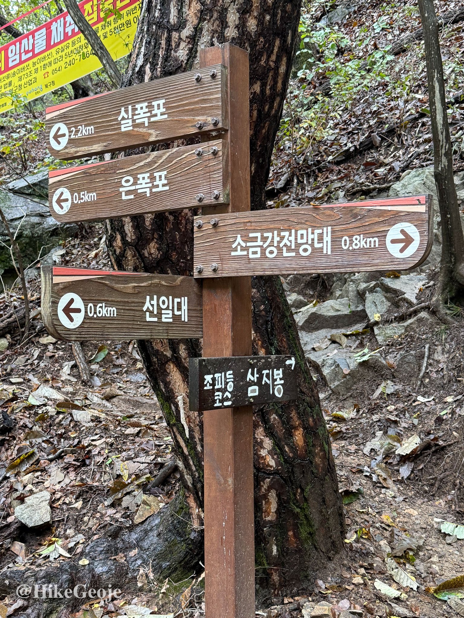
From there, we crossed the stream and made our way toward Eun Falls, where we paused to figure out the route to Samjibong (삼지봉), our BAC summit goal. The trail marker wasn’t obvious; we spent a few minutes studying the map before realizing the small hand-painted sign pointing the way was right behind us the whole time.
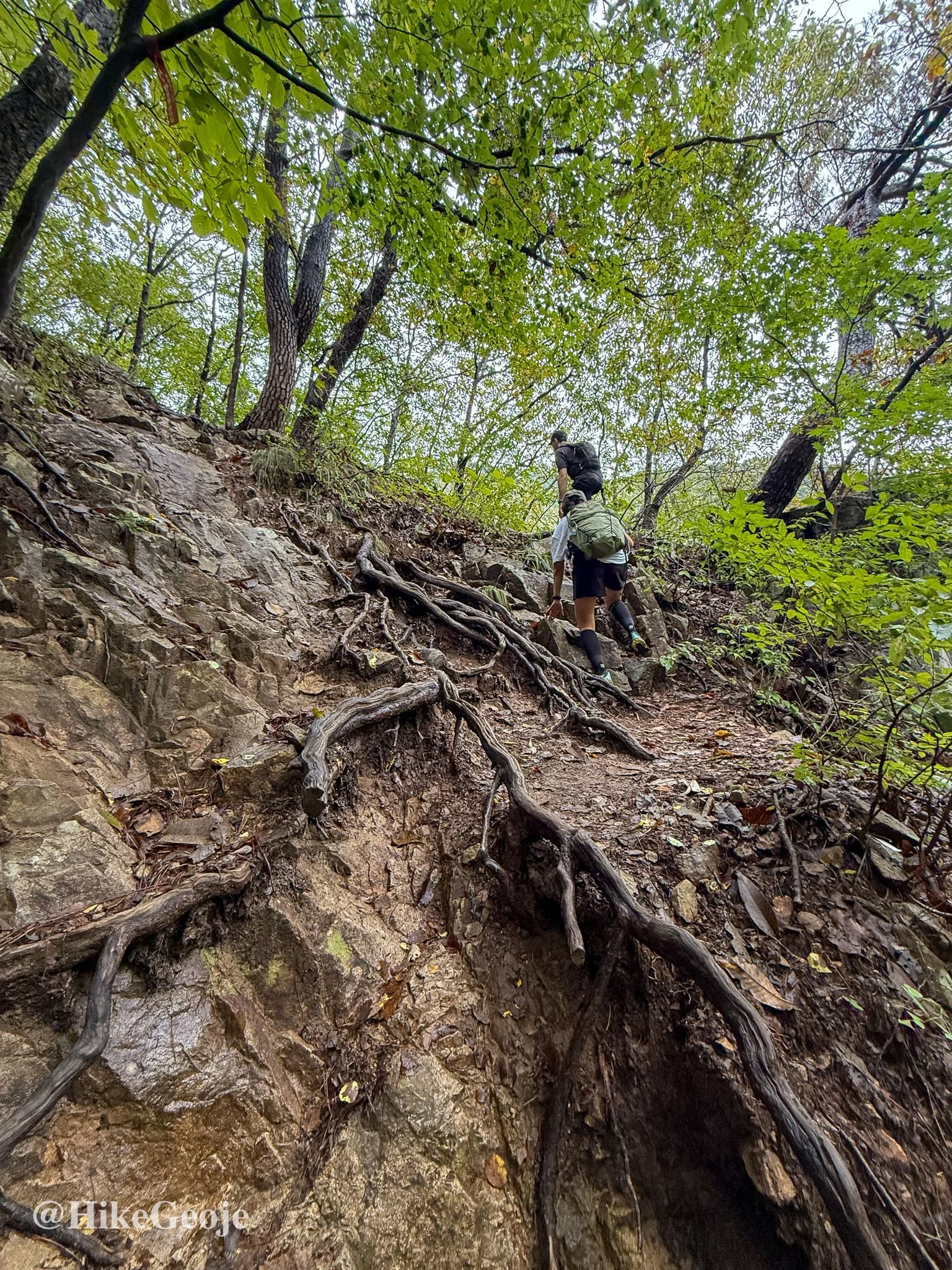
This was where the real climbing began, though the trail alternated between steep and gentle stretches. The crowds thinned out noticeably as most visitors stick to the lower waterfall section.
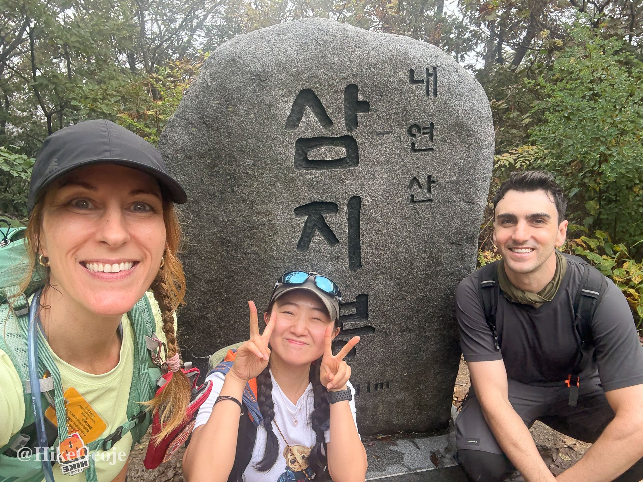
About an hour later, we reached the top: Samjibong Peak.
That made #26 for me, #33 (or “#50,” according to Yejin) for her, and #22 for Khaled.
Heading Back and Wrapping Up
After a few summit photos, we descended via a different route that led us back along mostly flat terrain, skipping some of the earlier waterfalls but still catching the main highlights.
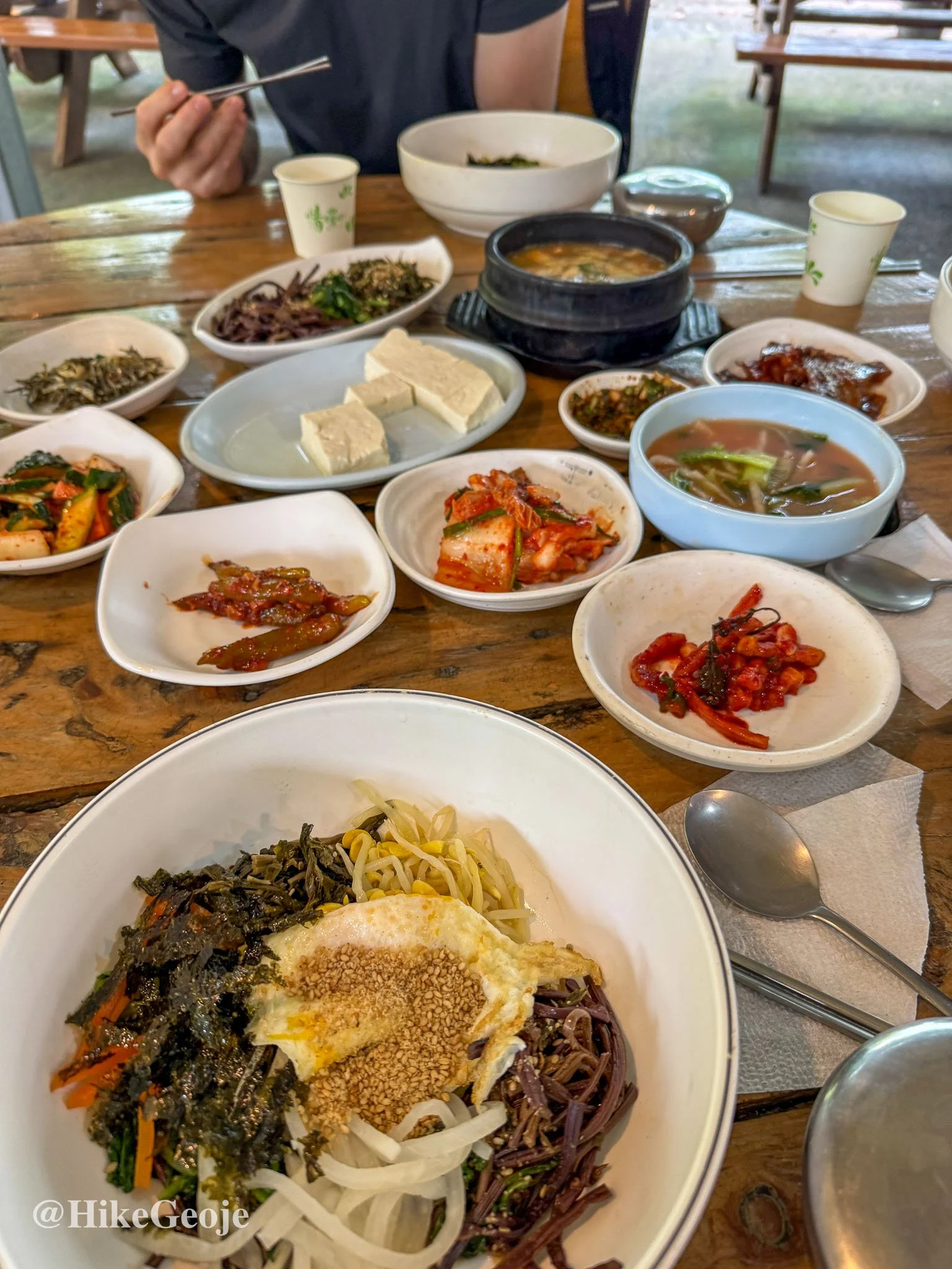
Before heading our separate ways, we stopped near the trailhead for a well-earned bibimbap lunch, the perfect finish to a weekend of waterfalls, peaks, and good company.
Final Thoughts
Naeyeonsan turned out to be such a pleasant surprise. While it’s best known for its string of cascading waterfalls, the full trail offers much more: quiet forest paths, sweeping ridge views, and that satisfying push to Samjibong. Even with the on-and-off rain, the mountain felt fresh and alive, and the waterfalls were at their most dramatic.
It’s an ideal hike for anyone who enjoys a mix of scenery and variety, and if you’re collecting BAC 100 peaks, Naeyeonsan absolutely deserves a spot on your list.