
jungongsan 중봉산 281.4 meters
1.7km return
📍trailhead
Last week when hiking Daegeumsan to see the azaleas, I spotted another nearby mountain with what looked to be a clearing on the top looking towards the sea. Taking a peek at kakao maps, I tried to figure out how to get there. I happily discovered that bright green line leading to what I thought I saw. So I headed out on a Saturday morning to check it out.
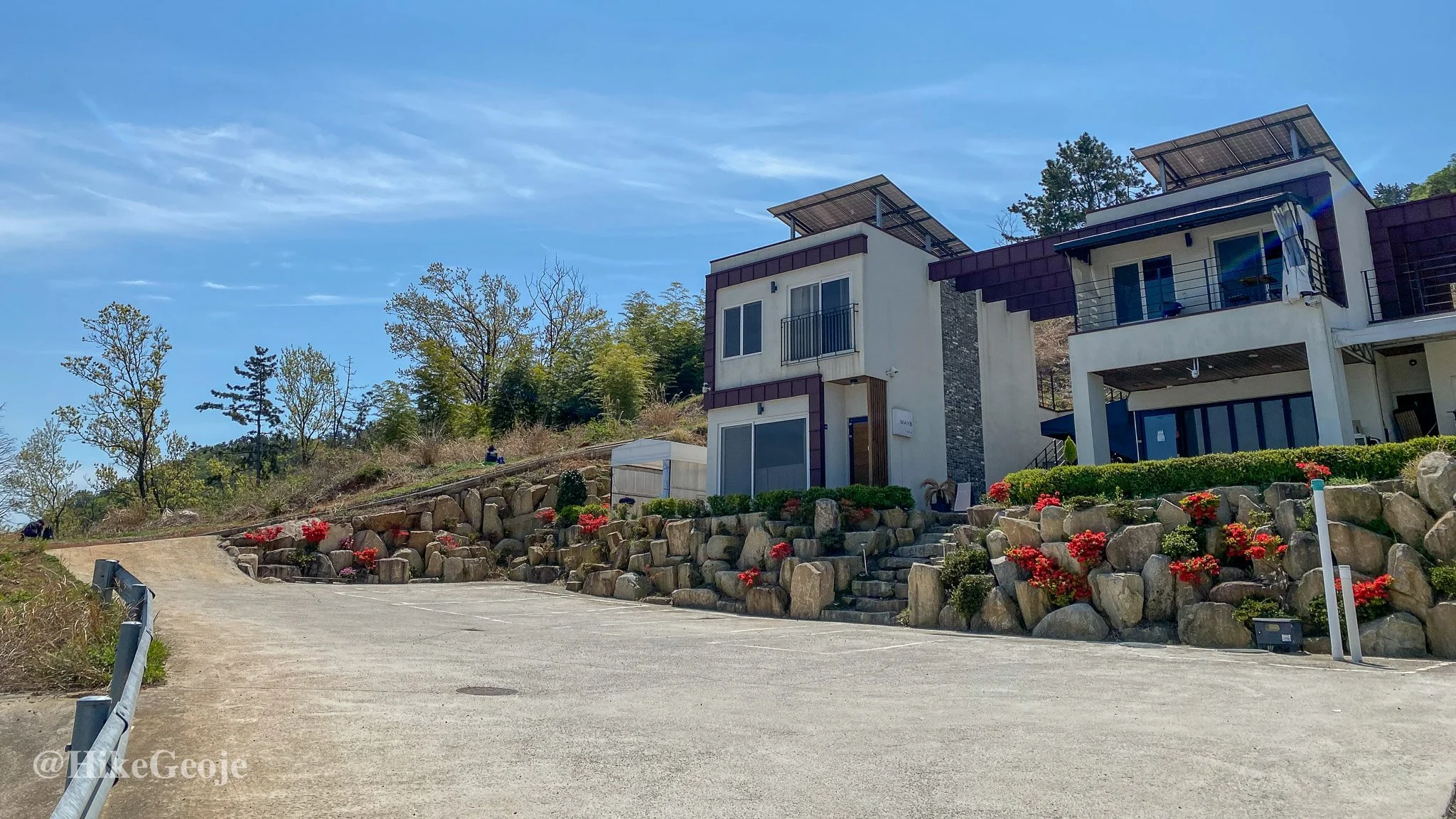
The trailhead starts directly past “Maybe Pension”, and was a pretty short climb to the top.

I followed the dirt roadway, thankful that it hadn’t rained recently, as I imagine it would have been quite muddy. It wasn’t long until the trail intersected with a newly built mountain access road. From here, I just crossed over the roadway and continued straight up the mountain.

Continue straight.
Shortly after this, I came across Hyeseonjeong Temple (혜선정사). I stopped to take a peek at the statues before continuing up the mountain.
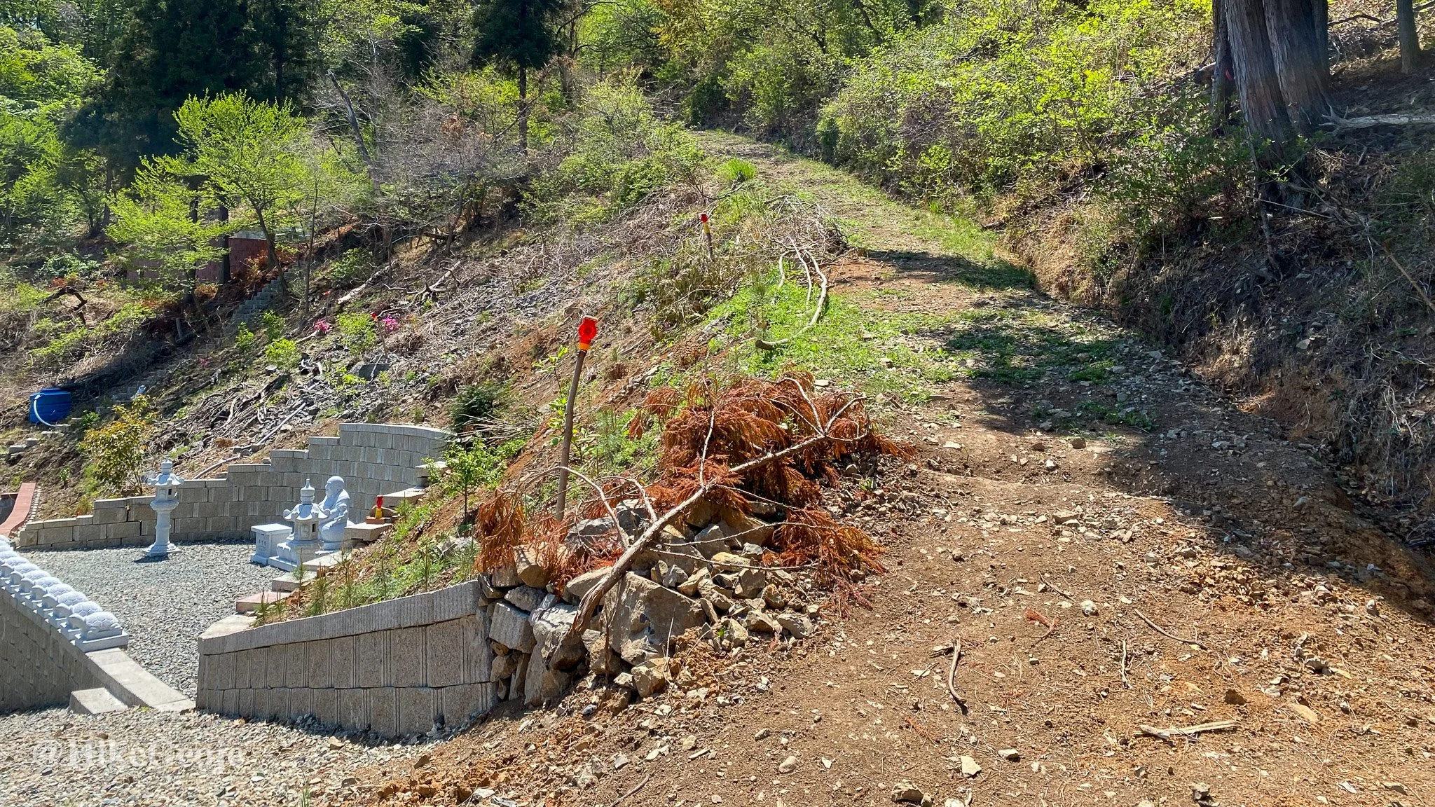
Check out the temple area on the left then continue on the trail behind it.

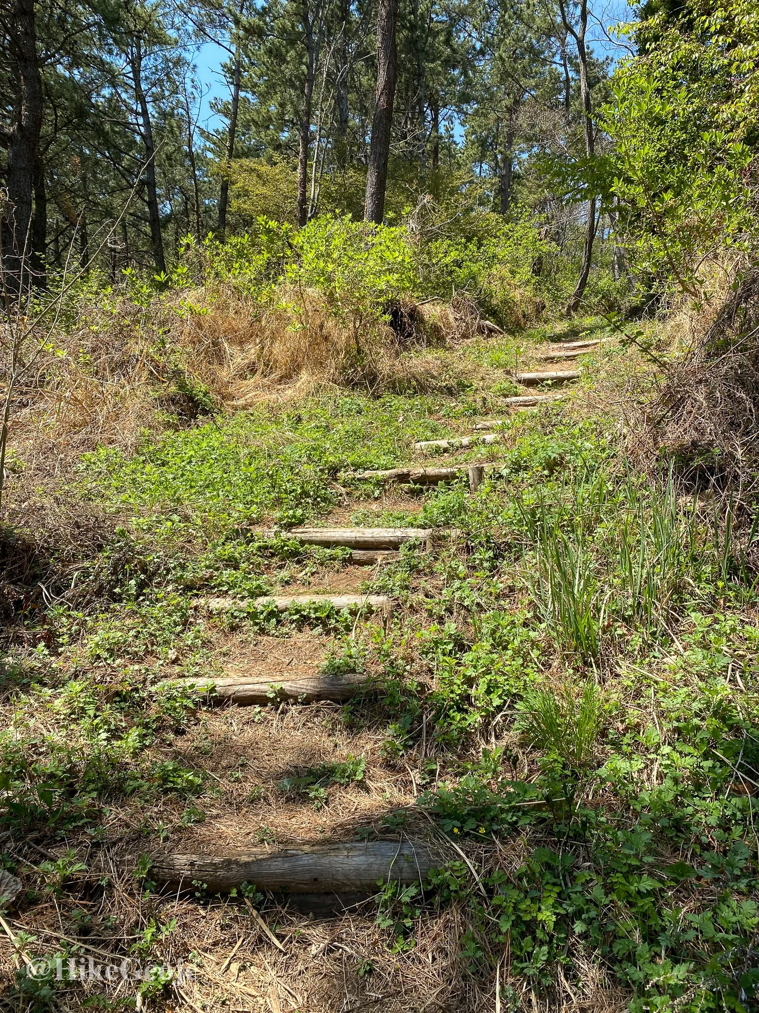
After the temple, the dirt roadway turned more grassy, and then became an actual hiking trail. It began to criss cross up the mountain, making the steepness of the trail a bit easier.
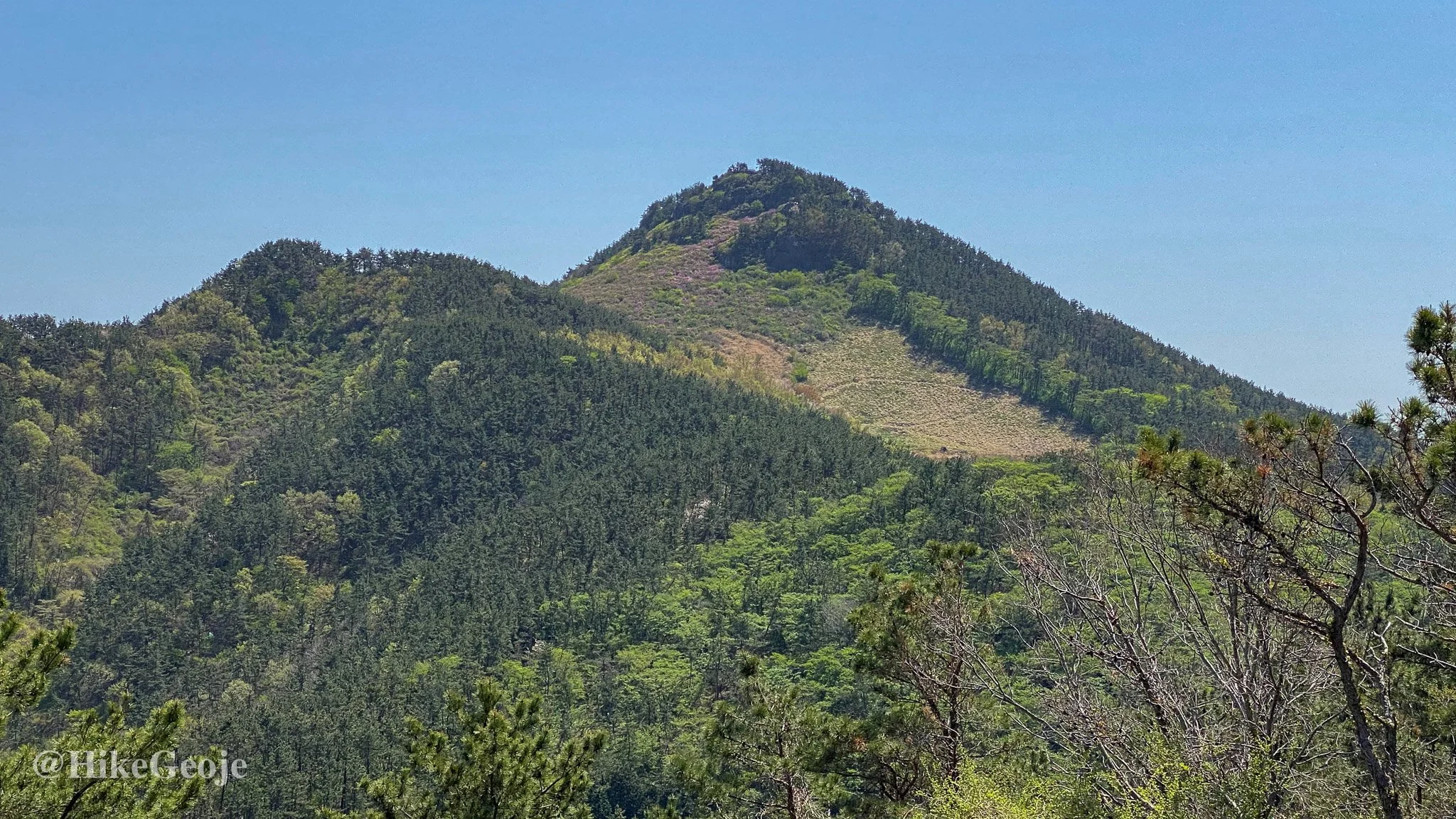
There were a few gravesites along the path, and a peek towards Daegeumsan though the trees.
Arriving at the top, I was pleasantly surprised to find a sign showing that this area was actually the remains of a former fortress.

There was some workout equipement and a large wooden platform at the top.

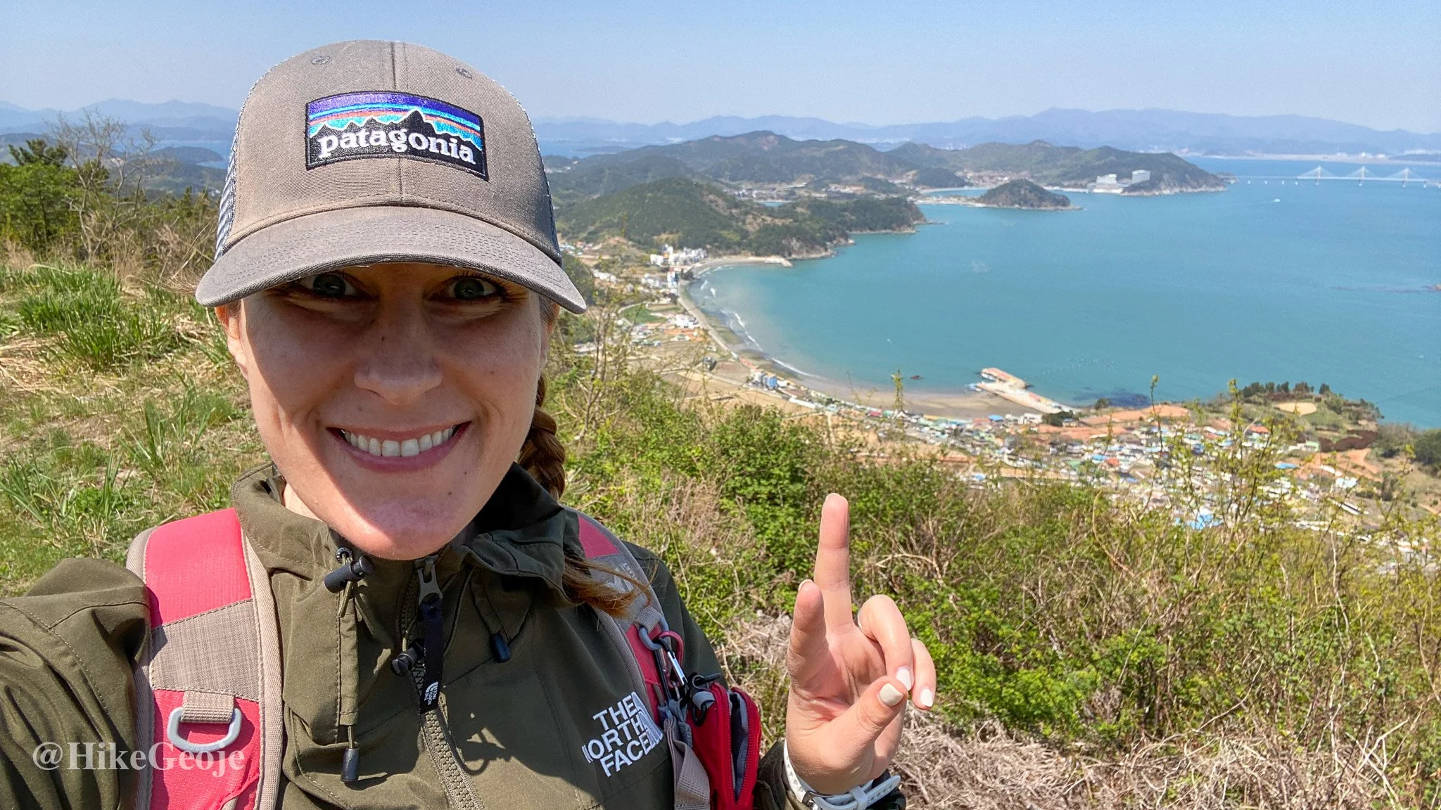
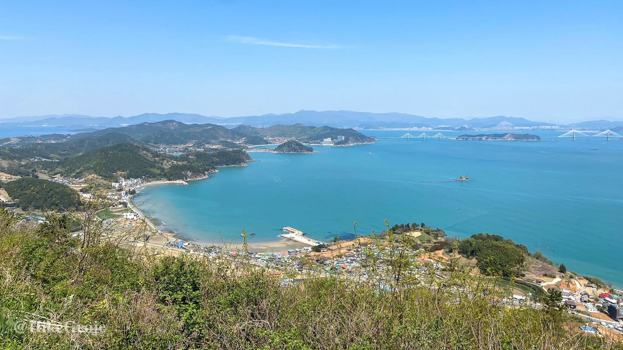
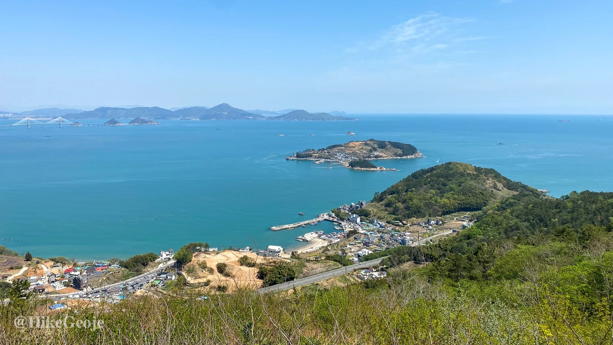
Best of all though, was the view! But as usual, pictures just couldn’t do the scene justice.
It was nice to find a trail in Geoje that was still new to me, and I’m already looking forward to visiting there again with friends.