hwaamsan 화암산
308.5.5 meters
Approximately 1.5km return
📍trailhead
I first spotted Hwaamsan earlier this year while hiking the three peaks of Sandaldo. I studied the maps a bit to see where there was a possible trailhead. Studying the sattelite views on two different apps, I noticed there was a car parked along the mountain access roadway, and a scooter parked in the same spot , I figured this must be it! So Ashleigh and I set out on a workday morning to make our way to the top.
To start, you have to drive (or walk) up a mountain access road for a bit. You can see where to turn in the picture below. Most of it will be paved, but eventually it will turn to grass.

Go right up this roadway.

From here, we had a bit of trouble finding the trailhead. BUT if you look for an old styrofoam cooler stuck in a tree (which appears to have been there for quite some time and not going anywhere), it’s directly across the road.

The trail is directly across from this “marker”.

That’s the trail!
Once past the trail entrance, it is quite easy to follow. It will get pretty steep, but you won’t have far to go and there are even ropes leading the way up the mountain to help you along. At the peak, you’ll be greeted with a “summit pole” rather than the usual summit stone!


Once at the top, there are some pretty great views to enjoy! You’ll get a clear view looking towards Sandaldo, Geoje-myeon (as shown in the cover picture), and even way over to Sanbangsan and Dundeok Fortress.

Sandaldo

That’s Sanbangsan in the center.
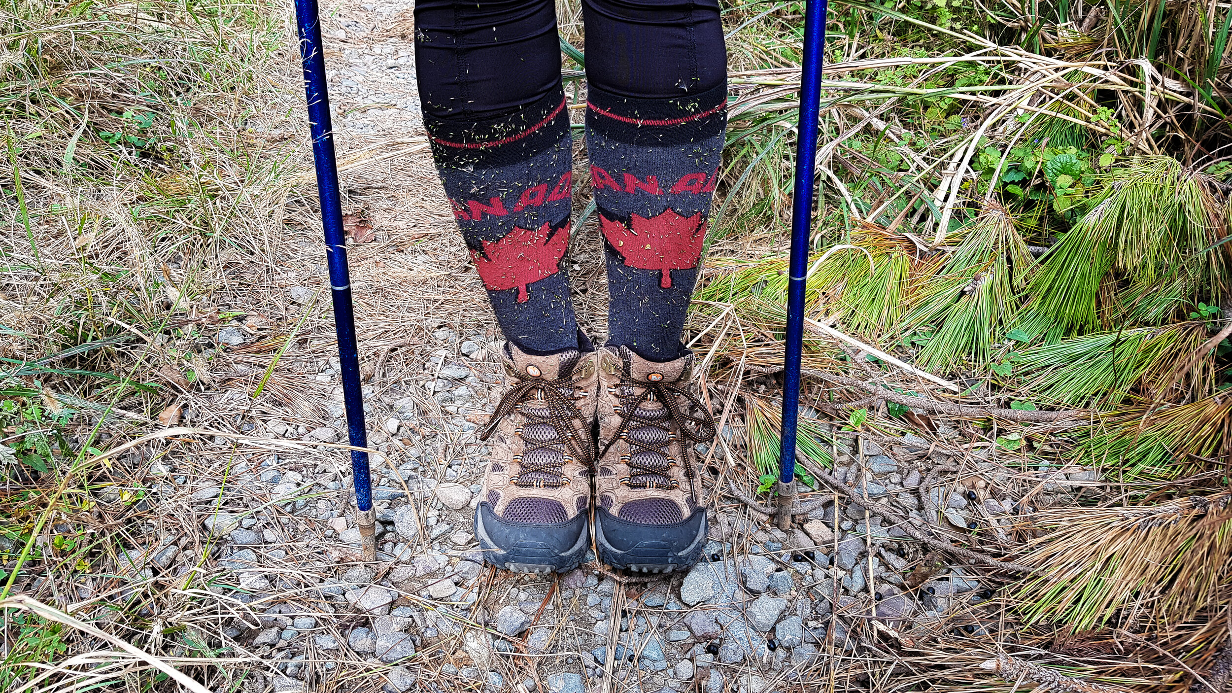
It’s a bit overgrown on the peak, so be sure to keep your ankles and skin covered to protect from ticks. My hiking socks were covered with seeds from pushing through the tall grass.