
Hallasan 한라산
1950 meters
approximately 20km return
📍trailhead
The highest mountain in South Korea is not to be missed! In January of 2019, I finally decided to climb this mountain, and I’m so glad I did it in the snow. It was truly a winter wonderland.

There are several different courses to reach the peak, but my hiking sidekicks and I chose to take the Seongpanak trailhead. This is the longest route (taking almost 20km return) but is the easiest since the slope isn’t as severe as others.

Because it’s a long hike and takes a full day to get to the peak and then back off the mountain, there are time limits for when you must reach a certain point in the trail as well as exiting the summit. If you don’t arrive before the set time limits, you’ll be forced to stop there to allow enough time to get off of the mountain before night falls. I believe the time limit for accessing the peak is dependent on the time of year, so be sure to check with the National Park or call the tourist hotline at 1330 to find out the cut-off times for access to the peak.

My hiking crew started in the dark when the mountain “opened” at 6am, while wearing headlamps and ready for the snow. We had to reach the last shelter (about 7.5km up the trail by 12:30, which gave us more than enough time. Everyone had to be off of the peak by 1:30, so we wanted to have plenty of time at the summit and enjoy the hike.
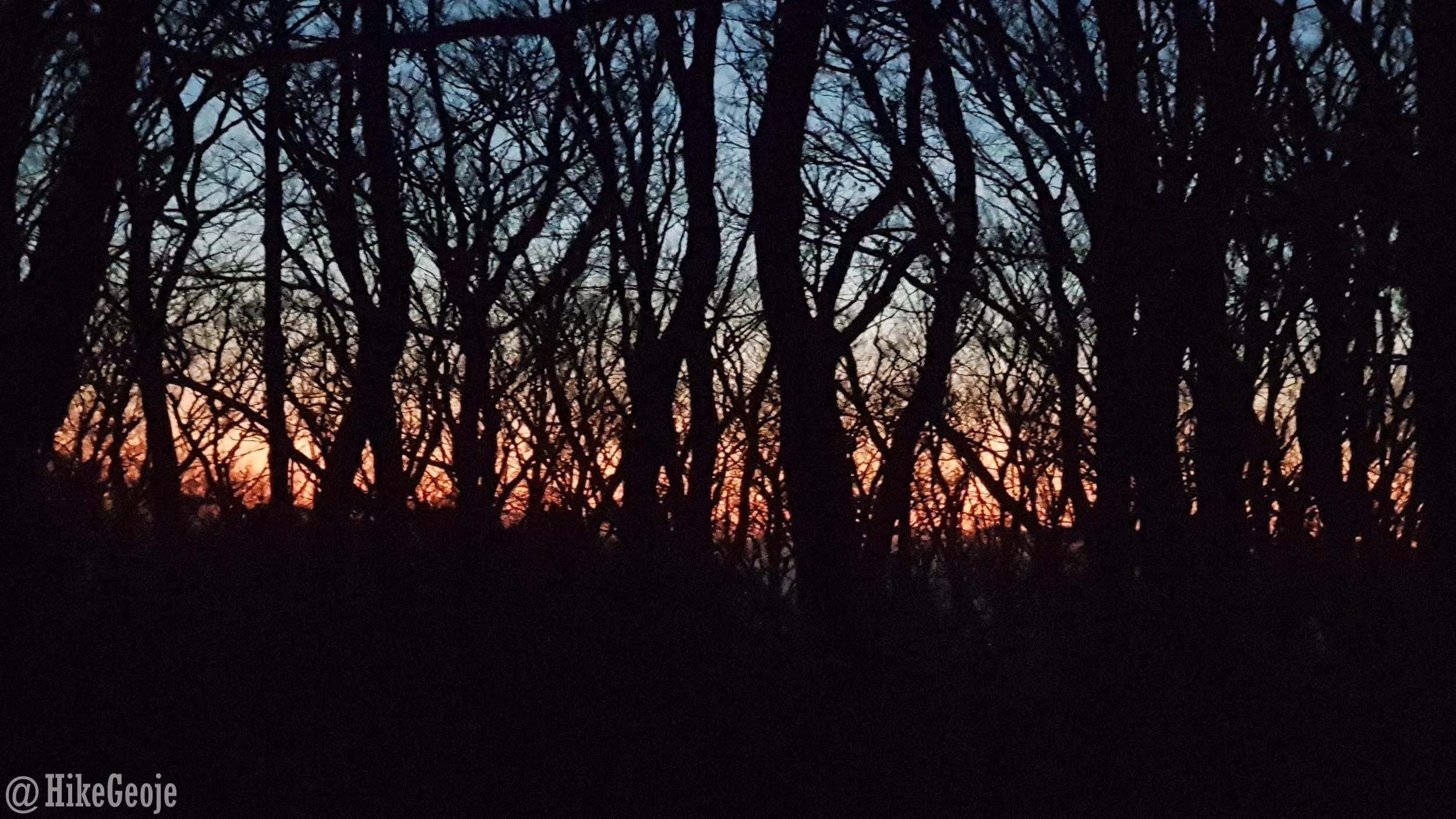
The first signs of sunrise.
The trail is generally “divided” into three different slopes:
The 1/3: Super easy! It’s quite flat and you can zip along at a quick pace.
The 2/3: This segment of the trail is a little tougher, but still not too bad for most hikers. It ends at the shelter where the cut-off time sign is.
The 3/3: This portion of the trail is the steepest but still quite doable for most hikers.

The final stretch! If you look closely, you can see hikers on the stairs snaking their way up the center of the mountain.
In my opinion, the most difficult part of this hike is the distance. I’ve hiked much smaller mountains in Korea that were a lot tougher than Hallasan, but hiking Hallasan made for a very long day.

Part way up the mountain and we’re ready for crampons!

The most important thing to do is be prepared. If you are hiking in winter you must have:
Crampons (aka eisen) for getting some grip on your boots in the snow.
Hiking poles are strongly recommended.
Very warm clothes, it’s going to be much colder at the peak than starting out at the base.
Plenty of food and water to give you energy for the long day ahead. (Alcohol is not permitted, so save any celebratory drinks for the bottom of the mountain).
Many people had gaiters (used for keeping snow or gravel from going inside your boots) but the trail was well traveled and packed down, so I don’t think they are necessary.


One thing I was surprised about was the sheer number of people at the peak! There was a rather large line to get your photo taken at the summit stone. Most people tried to be quick though to keep the line moving. This is another reason why I would suggest going early and trying to “beat the crowd”. The line grew exponentially by the time we were making our way off of the summit.
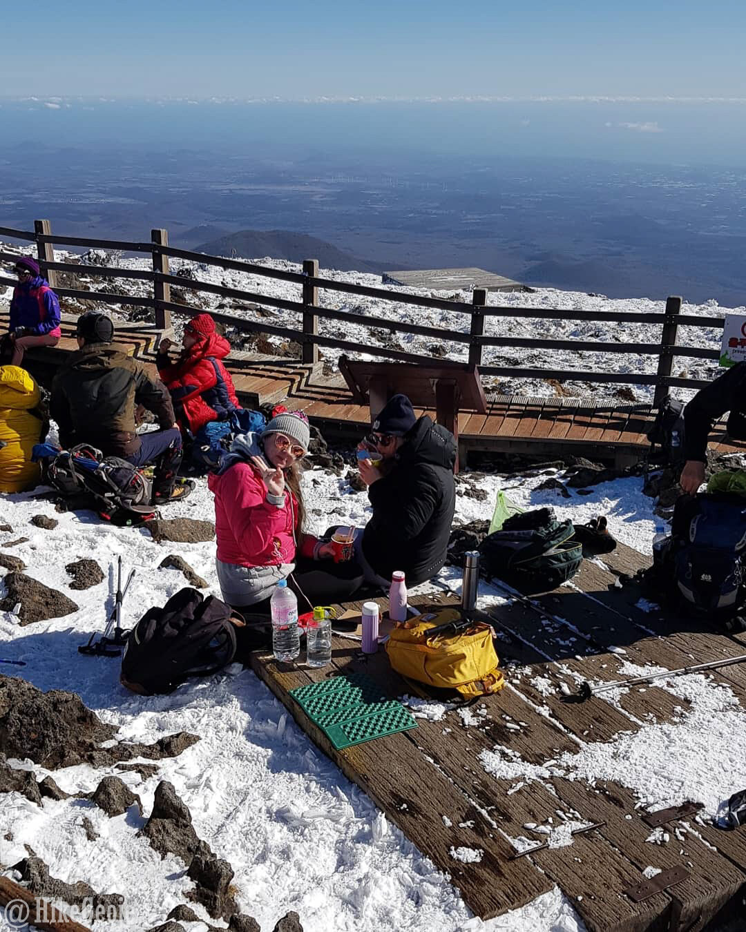
Ready for lunch above the clouds.


The summit stone.

Finally! Make sure you have a photo of yourself at the peak. When you complete the hike, you can enter the management building near the bathrooms and pay a few thousand won to receive a certificate of completion. You must show a picture of yourself at the summit stone though.

Three tired, but happy hikers!