
georyusan 거류산
571.7 meters
7.7 km loop
📍trailhead
While on an Air Busan flight this summer, I was reading the in-flight magazine and it had some information about a mountain in nearby Goseong (Gyeongnam province) that I hadn’t heard of before: Georyusan. It stated that Georyusan was known as the “Matterhorn of South Korea” and that it is open on all sides of the peak offering a great view. Well the “Matterhorn of Korea” had me skeptical but the view description piqued my interest, so I decided to give it a go one Saturday with Andrew before the summer ended.
The trailhead starts in the parking lot at the Um Hong-Gil Exhibit Hall (엄홍길기념전시관). From what I can understand, it is in dedication to 엄홍깅, a man who was born in Goseong and became a very successful mountain climber, even scaling Mount Everest. Unfortunately, by the end of our hike, we had other plans so we had to hurry back to Geoje and didn’t get to go inside.
Starting out on the trail there was a large warning sign for ticks. We were annoyed with ourselves for forgetting to bring bug repellent, but they do have an “insect [repellent] auto sprayer” machine. Unfortunately we somehow didn’t notice this machine until our way out, but we tried it and it worked! Hoping to start seeing more of these machines near trail entrances.

We chose to follow the suggest route marked in navy below. As soon as you enter the trail you’ll be making a right to head up the mountain. Follow this path for a little and you’ll pass some burial mounds with a hint of a view. You’ll see another less obvious trail on the left, but continue on straight.

Soon, you’ll come to the first fork in the road. At the fork, take the road to the left and start climbing the wooden stairs.


You’ll have a boring and moderately steep climb through the woods, but eventually you’ll reach a small set of stairs before emerging at a rocky area with a great view.

You’ll have a few more sets of stairs, but the trail starts to get interesting here as it opens up a lot more along the ridgeline.


You’ll pass a few benches, and then come to another set of benches with a trail to the right. You’ve come 1.6km and you have 1.6km to reach the peak, making it the halfway point. The trail to the right simply connects to the return trail, so continue on straight from here.
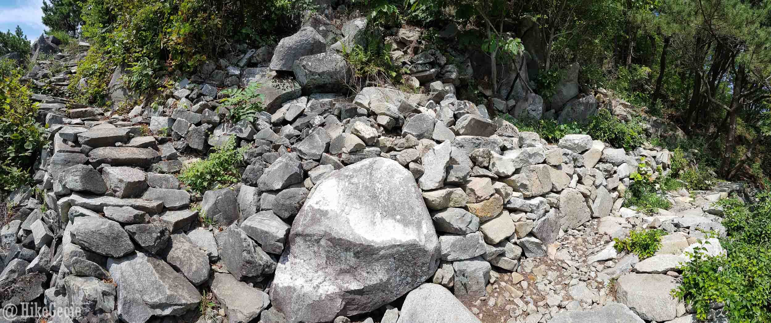
Nearing the peak, you’ll walk along the wall for Georyusan Fortress.


Towards the top of the wall the trail appears to keep going to the right. Instead, take the “stairs” up the wall and continue on to the peak this way. You’re almost there!
Go left here!
At the peak, take a load off and enjoy the views. Don’t forget to get your picture with the summit stone!


We chose to have a small picnic on the rocks behind the stone before noticing the trail markers going down the hill leading to the next area of interest with the bridges. However, it seems there must have been a main trail leading there that would have included a large wooden platform with a look-off. We could see this after hiking for a bit that we missed a section of trail but carried on, saving it for next time. So I can only surmise that the trail goes somewhere in front of the summit stone instead.

Regardless of the route you choose, you should reach the small mountain outcrop that you saw from the peak after a relatively short hike.

This is the route that we didn’t take, that we think may be the “main” trail coming down from the peak.

Follow the ropes over the hill and either walk across the bridge and up over the outcrop or go down and around heading to the right before following some stairs up to Deoksan Rock 덕산바위. Don’t miss this part of the hike, as it has a really neat flat rock with another great view! This is where the cover photo for this post was taken.


After this point, you will begin your loop back to the start of the trail. In all honesty, this is a longer route back that’s quite boring and not well traveled. If I did this hike again I would probably backtrack even though I usually prefer looping trails.
If you choose to go this way, there will be a few intersections along the way, but the signs are color coded, so even if you can’t read Korean it makes it pretty easy to follow. The orange arrows will return you to the peak, but instead follow the blue arrows heading back to the Um Hong-Gil Exhibit Hall 엄홍길전시관.

After 2.8 kilometers from the peak you will reach a three way intersection. Here there is also a yellow arrow pointing to the main area of interest along this route: Jangui Temple 장의사. This is only 100 meters off the trail and you might as well visit since you’re here. The unpainted wood on the main temple was quite pretty. Note: the temple is farther down the slope of the mountain, so once you go down, you’ll have to hike back up.


After checking out the main temple, you’ll backtrack to the same trail junction. You still have 1.7km to go and will start with another climb up the mountain but it won’t last for too long until you reach a three way intersection at the top. From here, don’t go up…continue straight across from where you emerged and go down the hill. Keep following the blue arrows for 엄홍길전시관 to return to the parking lot for the exhibit center.