
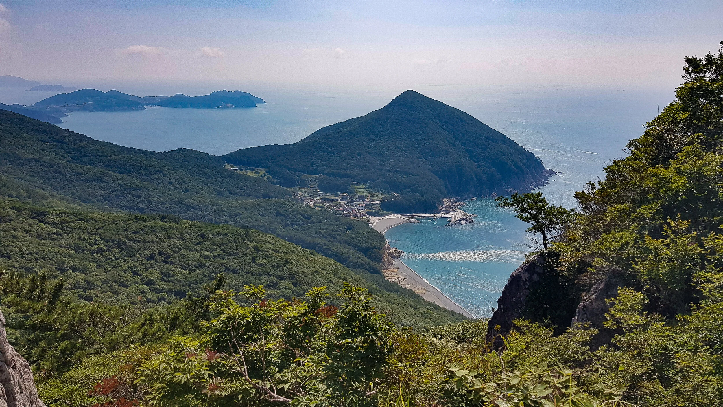
Cheonjangsan, as seen from Mangsan.

The trailhead entrance.
It was quite obvious where to park to enter the trail, but the trail itself was barely visible. I walked into the woods a little, in hopes of it becoming a bit more clear which way to go. After about 100 meters or so, you can spot the trail, but it really is a bit hard to see at this time. I think the recent typhoons did a lot of damage to this area as there were several trees down and uprooted.
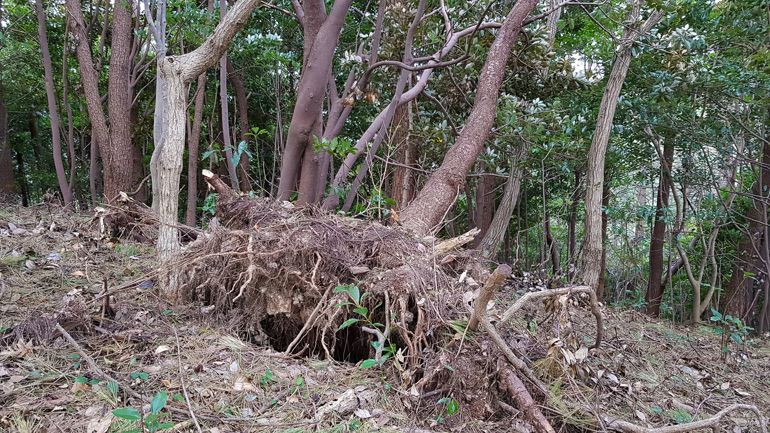
Lots of uprooted trees along the trail.
It wasn’t quite bushwhacking though, so I continued on, trying to see the trail. The further in I went the more obvious it became. It will get a little steep as you will follow some switchbacks closer to the peak.
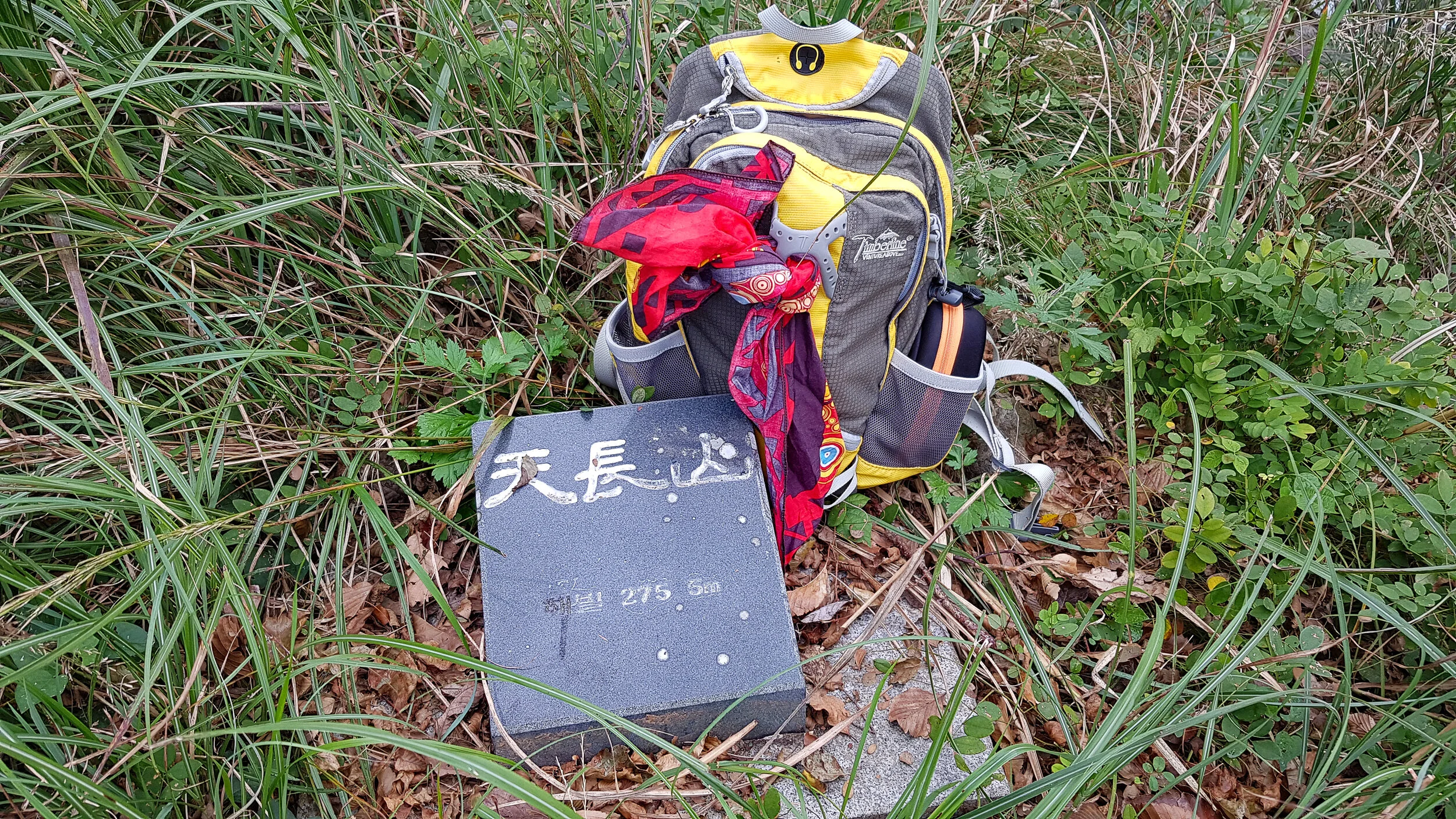
Before long, you’ll be at the top. To the right you’ll see a grassy mound with the summit stone inlaid in the tall grass.

Next up for a bit of history, enter the rocky ruins of a Japanese radar base during the Russo-Japanese War of 1904. These rocks are part of the the original structure built by the soldiers who were stationed on this mountain.
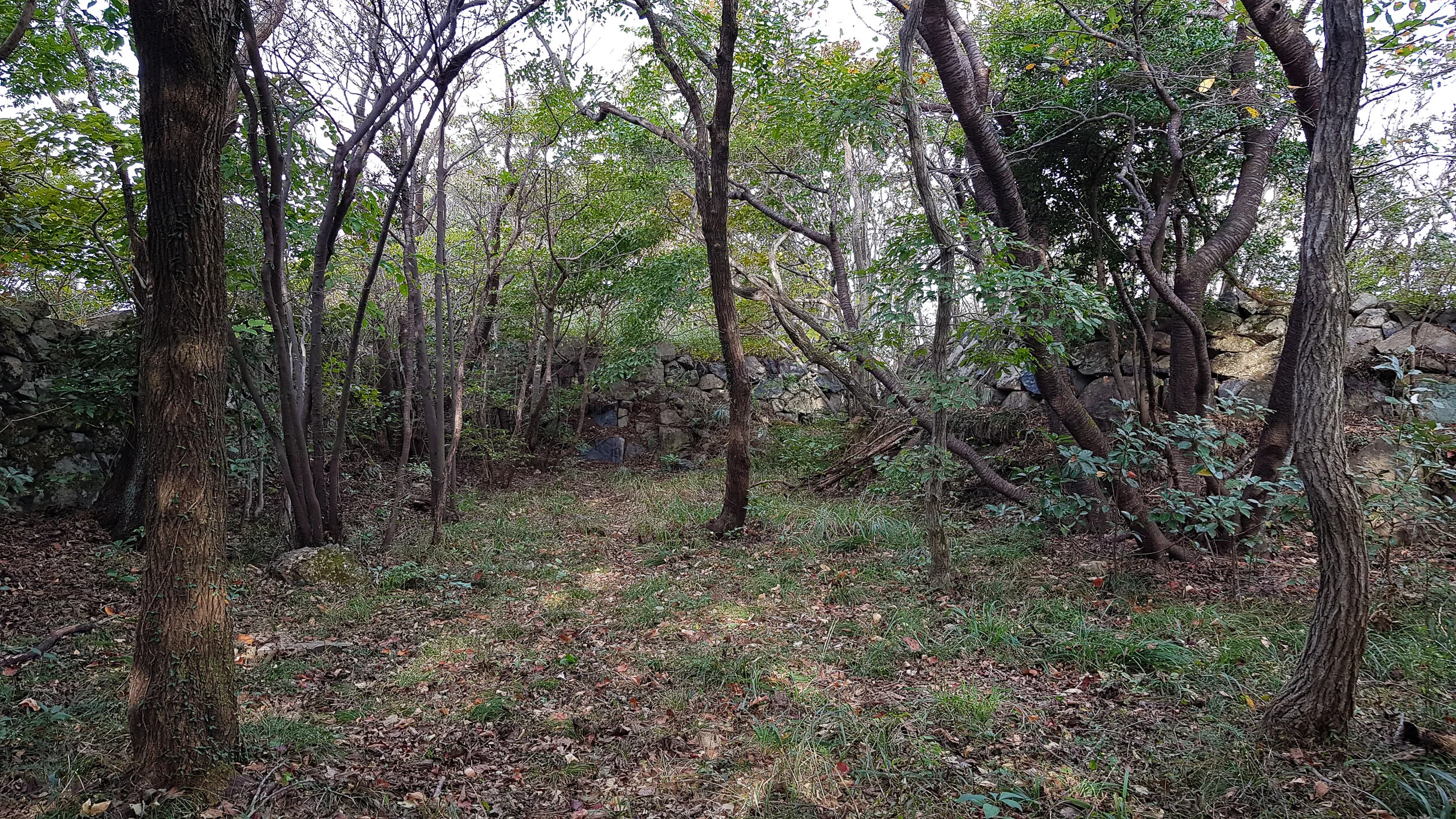
Inside the old ruins.
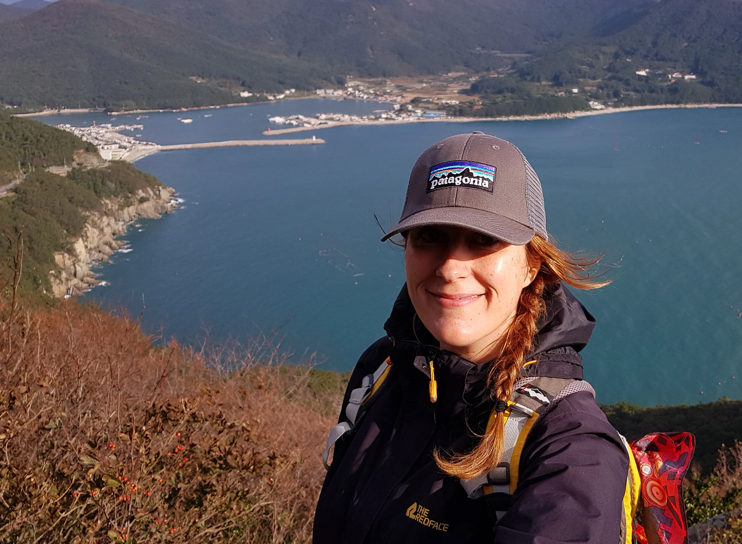
Walk through the rocky walls that encircle you and when you emerge on the other side, the trail will continue. Almost immediately, you’ll see an offshoot. Follow this for the best view of this hike. You’ll get to see the peninsula that Windy Hill is on, as well as Woojebong.

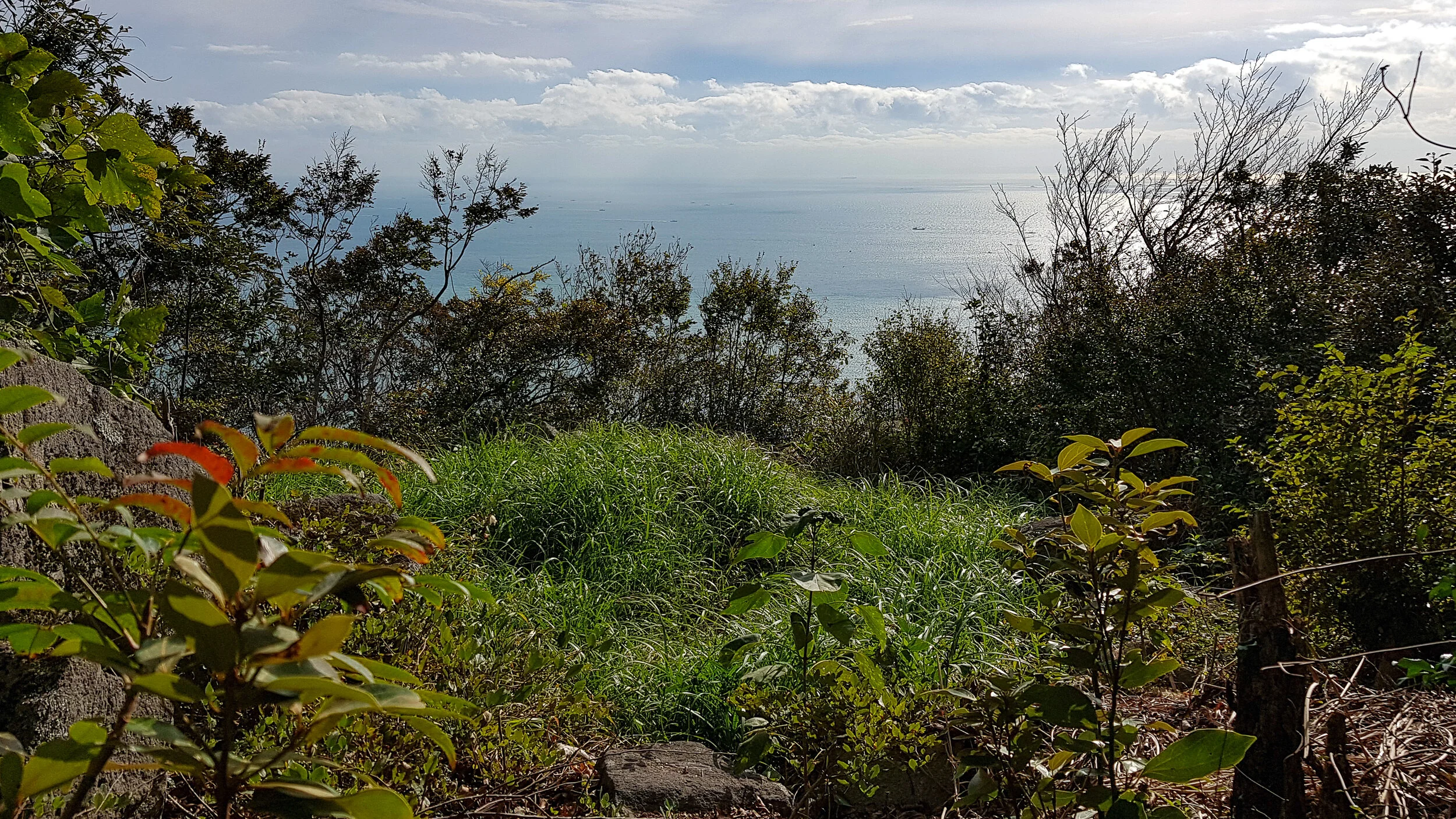
After relaxing on the rocky outcrop taking in the view of the sea, you can head back and follow the trail for one more point of interest. You’ll start hiking slightly down and to the left. You’ll see a very large rock and think that is the end. Once you get closer to the rock, you can go behind it to the right and find a burial mound. Here, there is a view towards Hyeongjeseom and Sodapodo Islands hugging the coastline at the edge of this peninsula.

Overall, I found this trail to be kind of like corn on pizza. I wouldn’t really recommend it, but I would still eat it. So if you’re looking for something new or are a bit of a history buff and interested in seeing the ruins, it’s a good way to fill up a morning. You should also check out the little village at the end of this road and take a walk on Yeocha Beach.

