
ansan 안산
207 meters
Approximately 3 km return
📍TRailhead
So, I’ll start out by saying that this isn’t really a hike that I would recommend. There is no view at the top, and it wasn’t that easy to find the trail, but in the spirit of documenting all of my hikes, it’ll still be included in this blog.
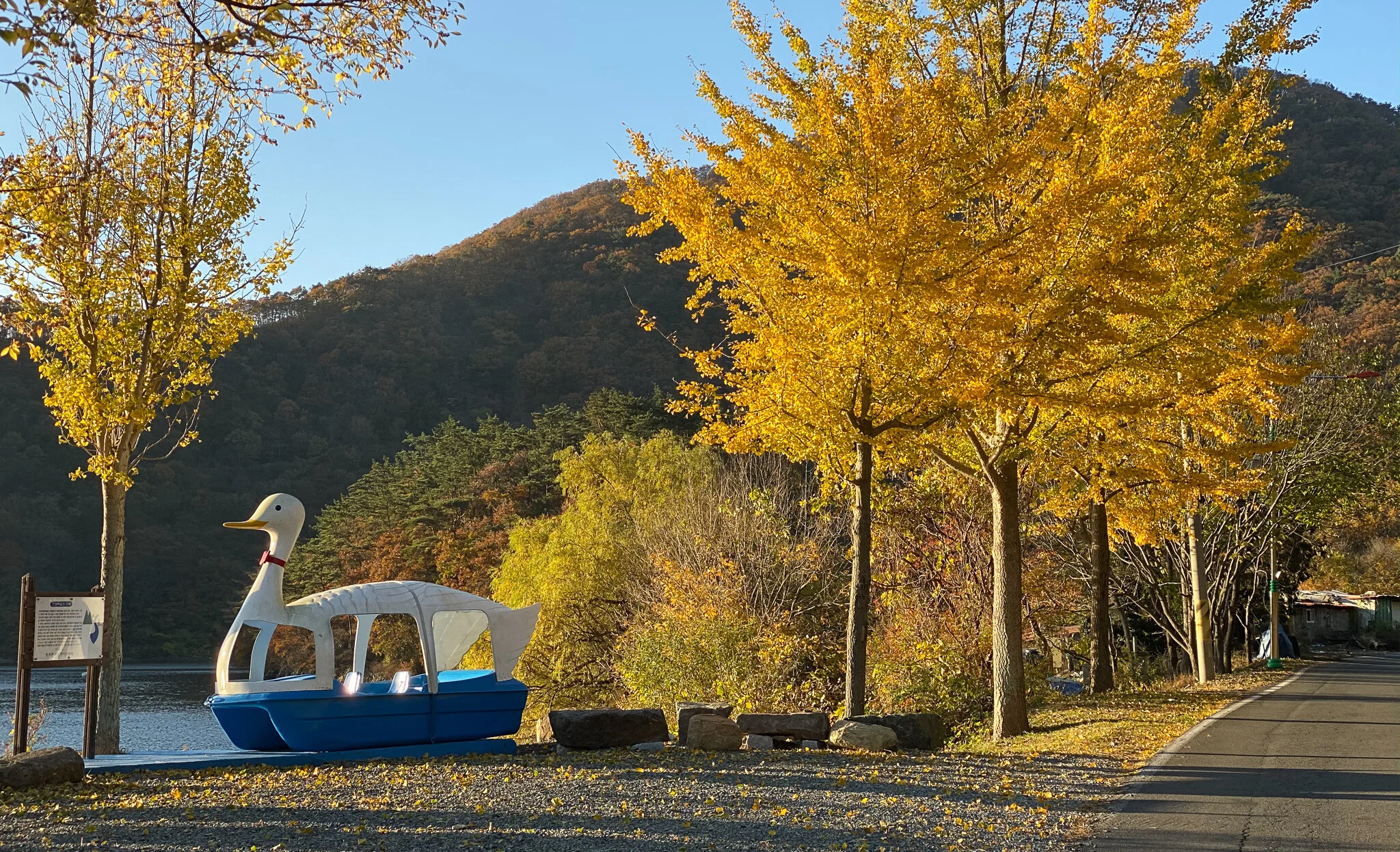
On a gorgeous fall morning I headed off to Dongbu-myeon. The ginko trees were absolutely glowing and I was stoked to check out a new trail.
The plan was to hike Dongmangsan, taking the trail behind the KT Training Center. When I arrived I found the same signs I saw a year ago saying that the trail was closed. Unsure of an alternative route, besides taking the long way and going through Poroksan, I checked out the map to see if there were any other spots nearby that I could check out and I found Ansan.
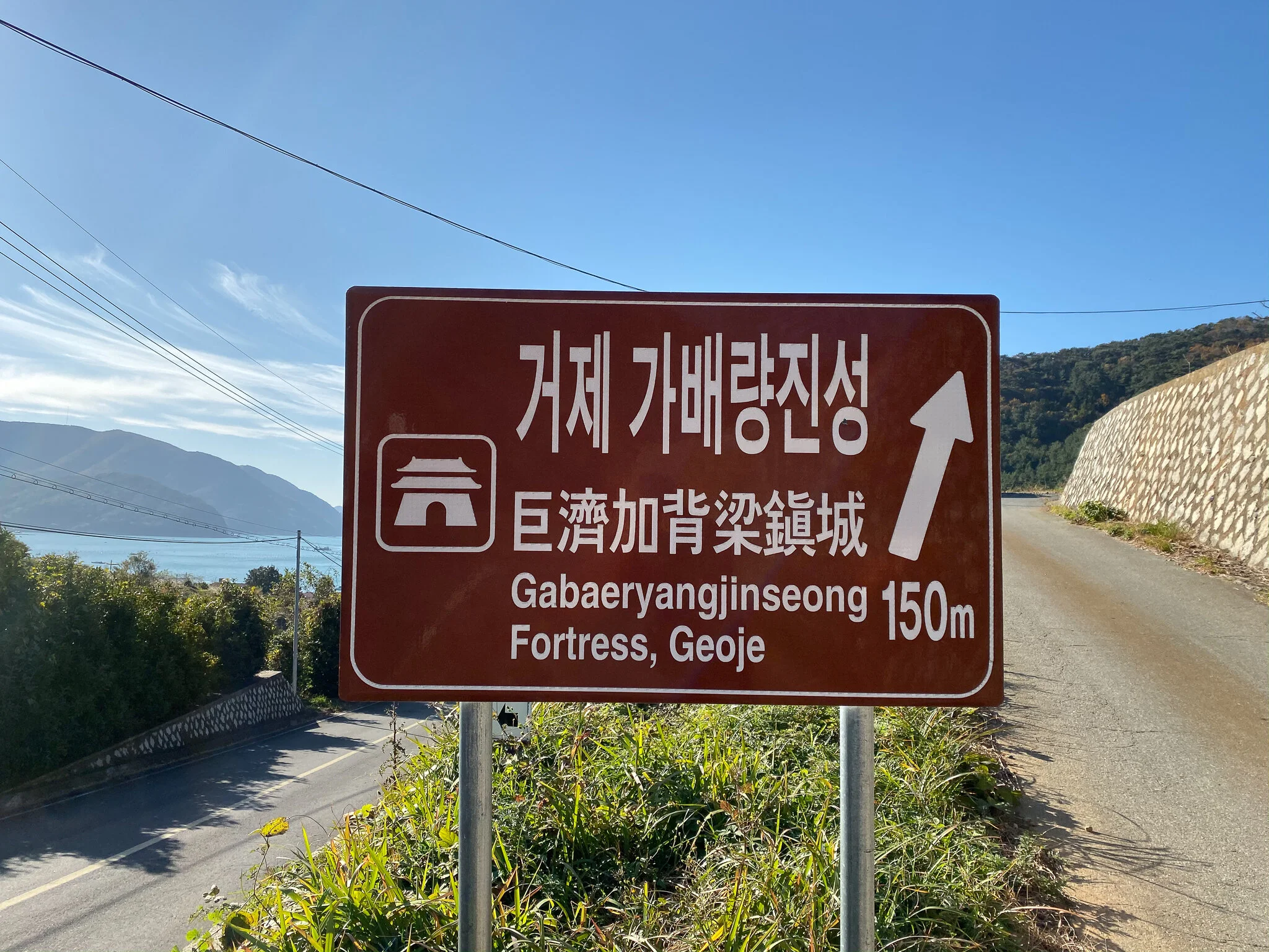
The trailhead started at Gabaeryangjinseong Fortress, yeah, that’s a mouthful. As of now (Fall 2019), there isn’t really much to see but when I was headed back to my car there were about a dozen workers in the area working on and around the wall, so perhaps there will be more to it in the near future.
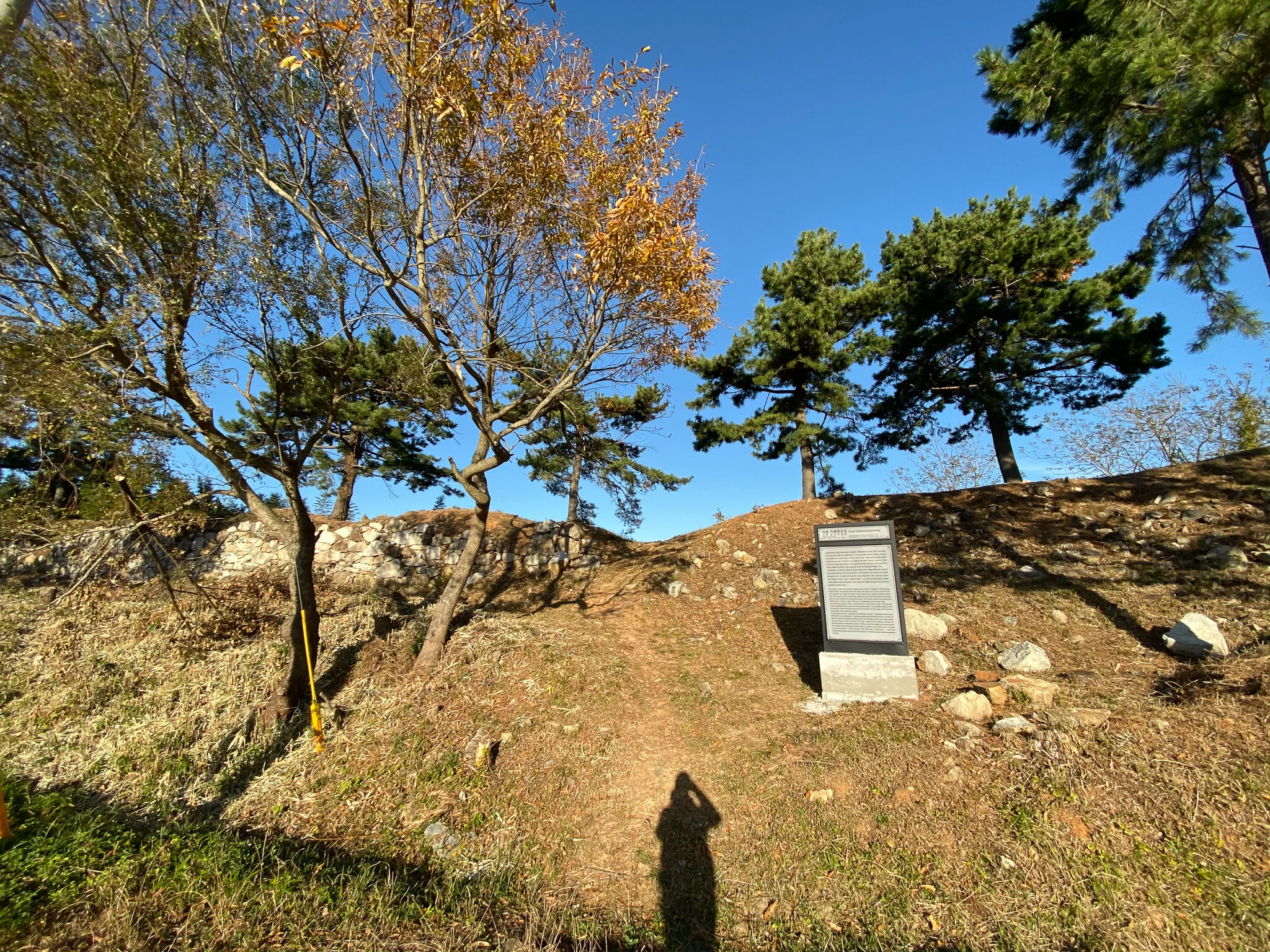
I headed up and walked to the left along the wall itself. Eventually, the trail cuts into the woods a bit.
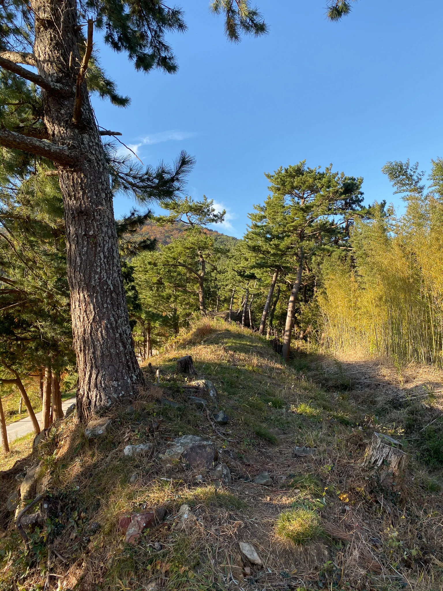
Walking along the old fortress wall.

The “trail” start between these two metal posts.
After walking through the woods for a very short time I emerged at another road. The road itself cannot be accessed by car from the main road that ran along side of the wall since the junction has grown over and there is now a ditch separating them. I followed this road up until it was grown over with grass and found what appeared to be an old trail going up into the woods.
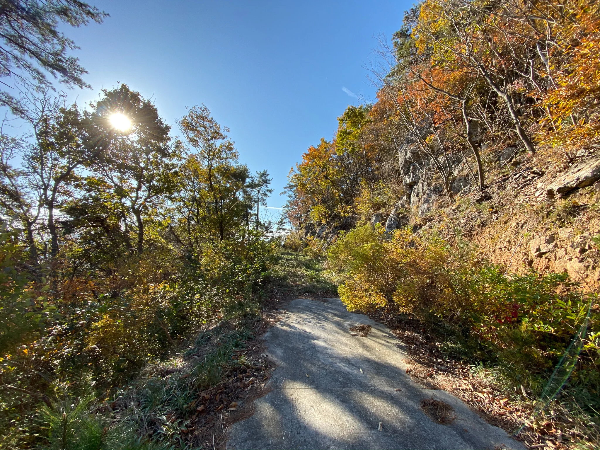
Almost at the end of the road.
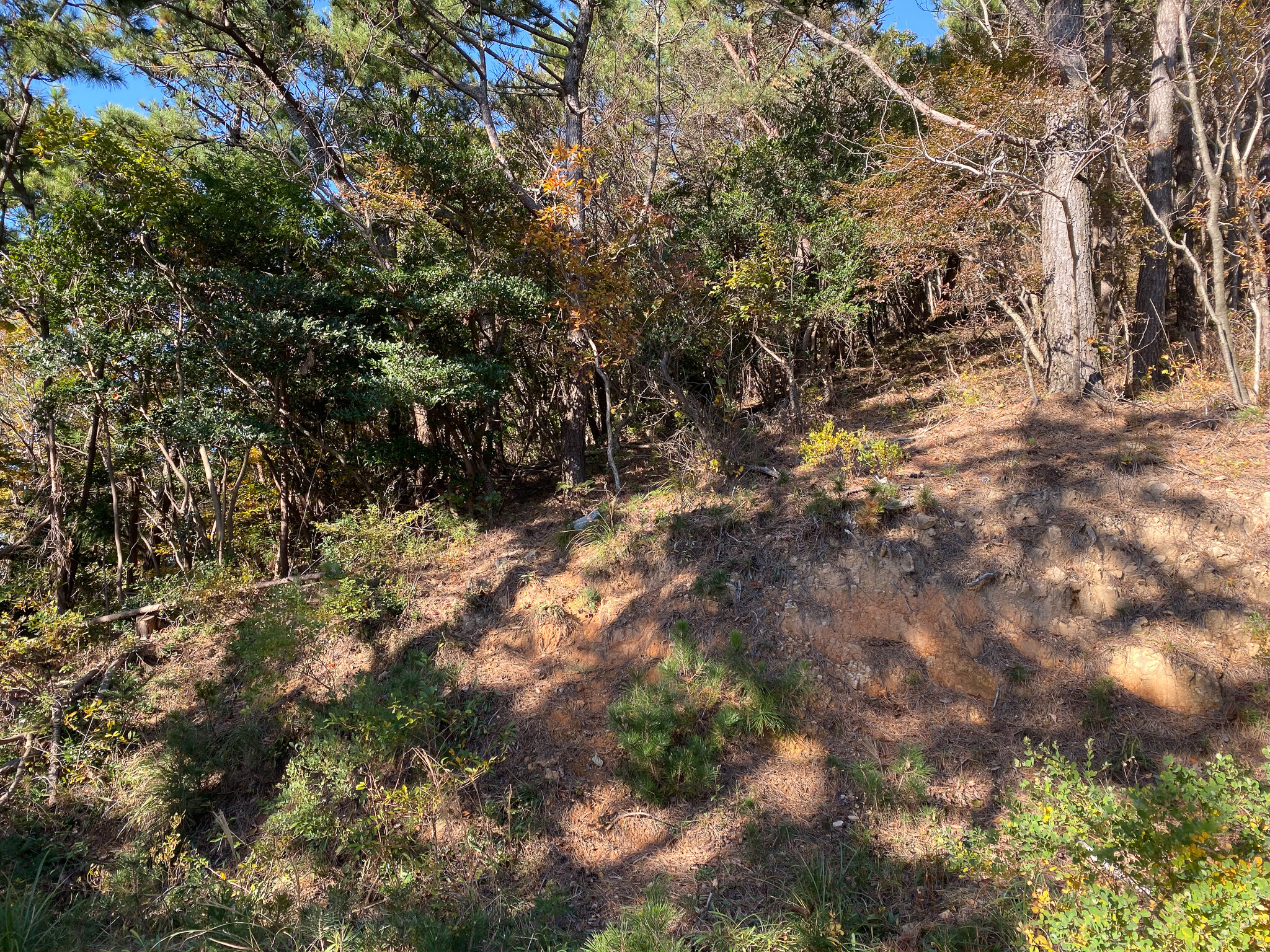
That’s the “trail” going into the woods.
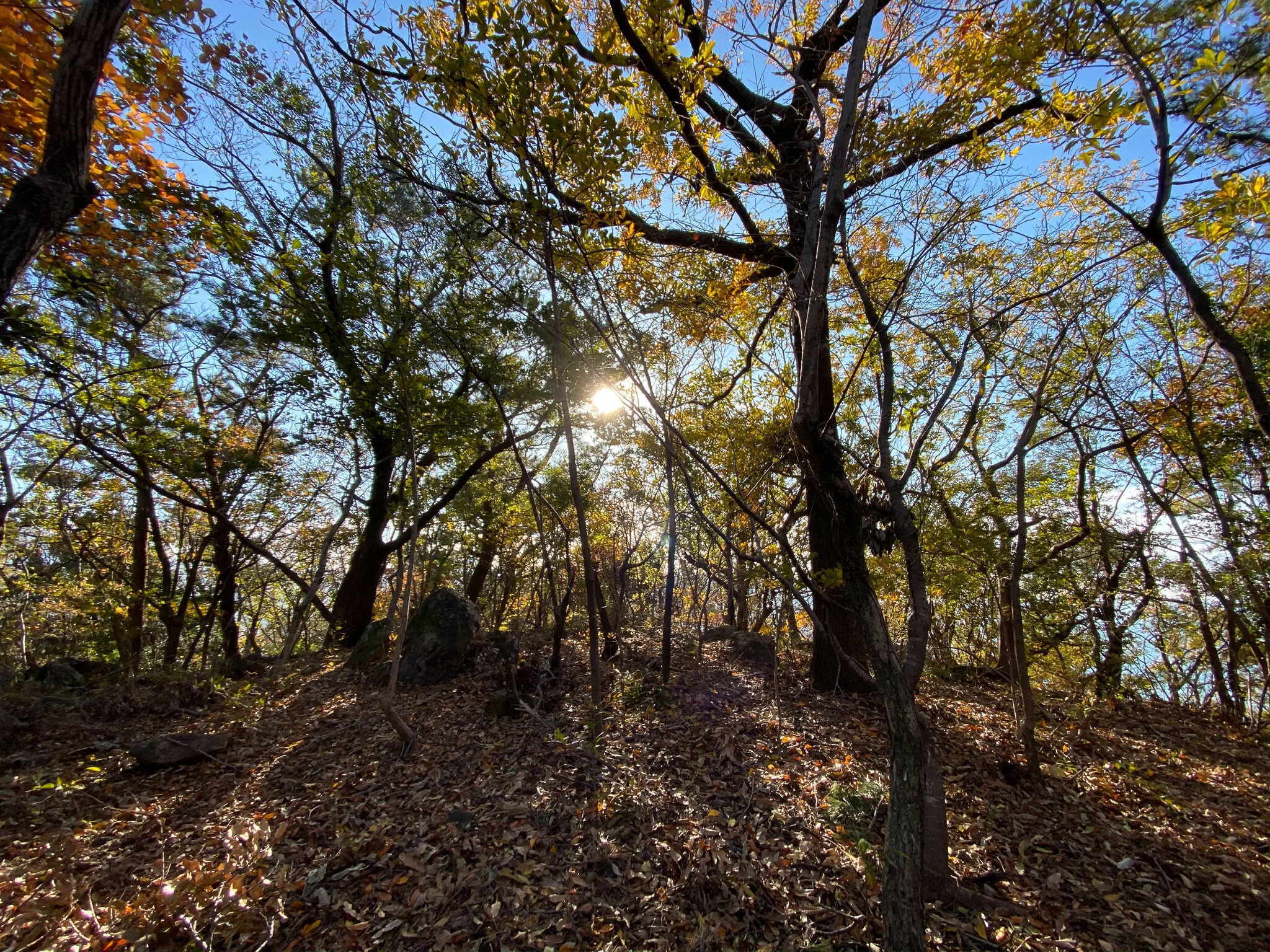
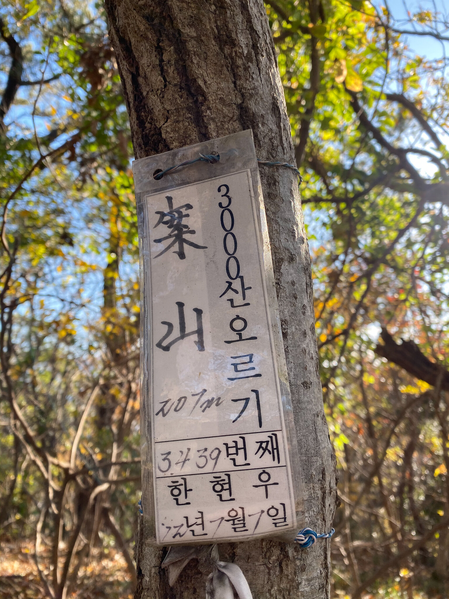
The trail itself was pretty open mostly due to the time of year so it wasn’t too hard to figure out where to go. Eventually, I came to a big pile of rocks and I had hoped for a look-off from there but it wasn’t safe to try climbing to the top since I was alone, so I had to continue on. After a few more minutes, I emerged at what I figured was the top of the mountain (where the cover photo was taken) and discovered a summit sign left by another hiker.

I always got time for a mountain selfie!
This marker looked very different from other markers I have seen and it didn’t have the mountain name listed in Korean, so I asked my co-worker about it. Her explanation was that this guy, 한현우, marked this mountain as his 3439th mountain! She said it was kind of like his personal goal. I’m incredibly impressed, I think that maybe I’ve hit triple digits, but I can’t imagine getting a chance to hike this many mountains in a lifetime.
So although it wasn’t a great hike, and I was a bit let down by a lack of a view, the weather was still pretty great and I was happy to get some time in the woods.